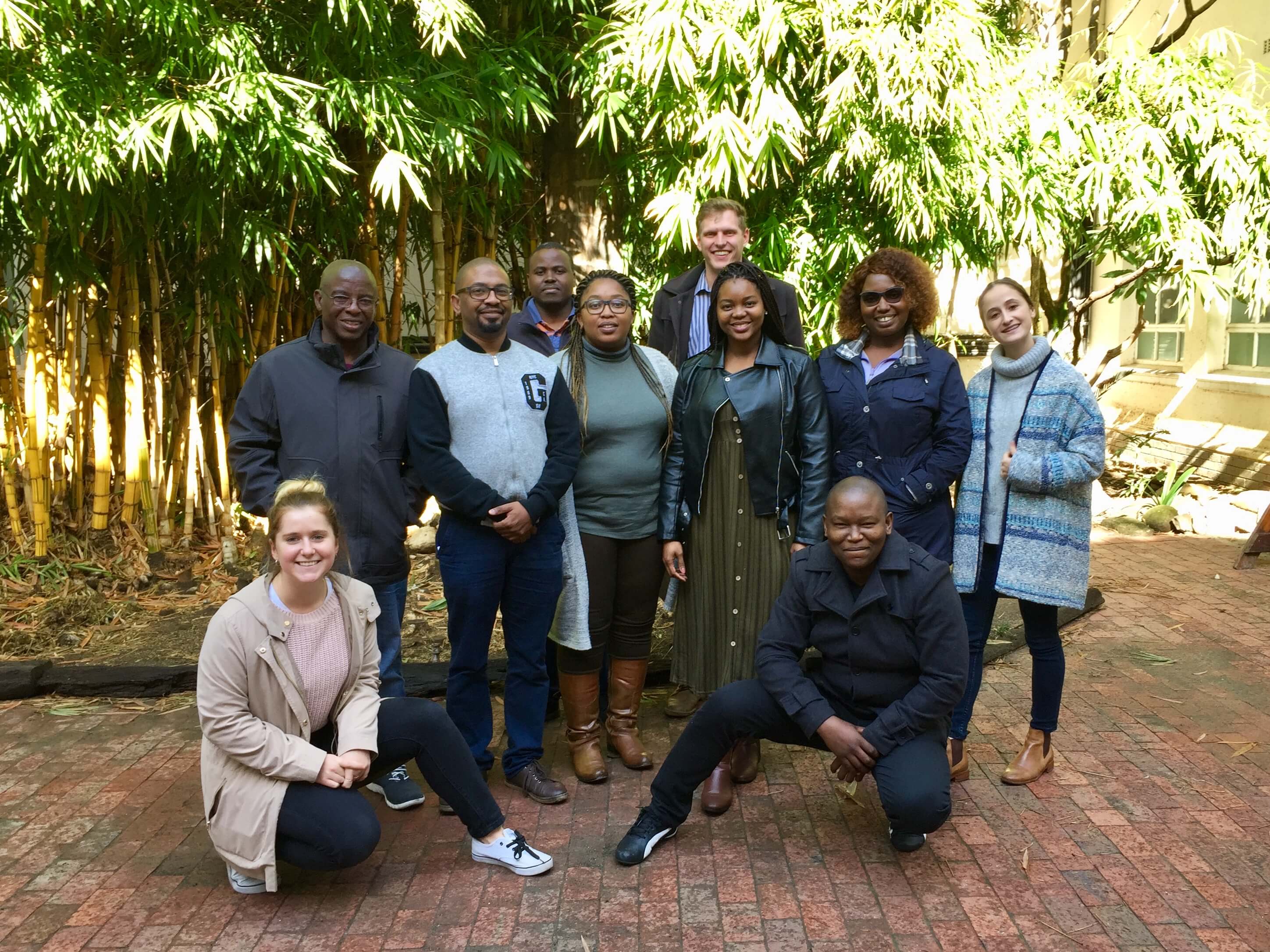
The CGA presented their Introduction to Geographic Information Systems (GIS) short course from 3rd to 7th of June, which was attended by 8 delegates. This course is aimed at beginners to GIS and teaches the basic theoretical and practical functionality of GIS.
Themes covered in this course include:
- An introductory overview of GIS in the context of geo-information science; the nature of geographical data
- GIS data models
- GIS processes such as the capture, storage, editing, manipulation and analysis of spatial data
- Map projection and coordinate systems
- Map production: map design and cartographical visualisation with a GIS
- Spatial analysis and modelling
The delegates were from a range of Stellenbosch University (SU) departments, government departments, and the private sector across South Africa, including the SU Department of Mathematical Science, SU Department of Economic and Management Sciences, the Deutsche Gesellschaft für Internationale Zusammenarbeit GmbH (GIZ), Department of Rural Development & Land Reform, the University of South Africa (UNISA), the Department of Social Development, and the Petrolium Agency South Africa.
Thanks to all attended and assisted in the running of the course.

Back: Sibongiseni Hlabisa, Hanu Mostert
Middle: Oliver Zambuko, Sibongiseni Hlabisa, Thandokazi Maceba, Keobakile Lenyibi, Thendo Mafame, Ashleigh Basel
Front: Zani Mouton, Dumisani Nxumalo
To see all GIS and remote sensing short courses offered to industry by the CGA, please visit our course calendar.
