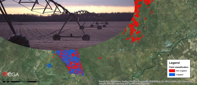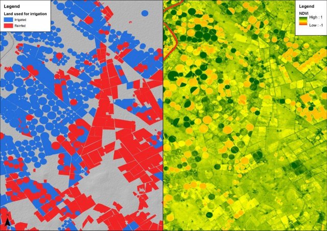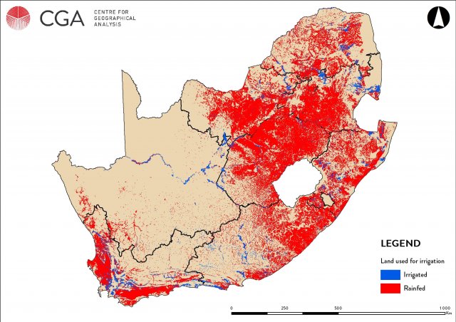
This project, undertaken in collaboration with GeoTerraImage and eLEAF of the Netherlands for the Water Research Commission (WRC) of South Africa, aims to update the existing estimations of the amount of water used by irrigated agriculture in South Africa. This is being done by employing various EO and GIS techniques, including the mapping of irrigated agriculture and the modelling of potential and actual evapotranspiration at a national scale. Detailed crop mapping is being undertaken in selected areas and the water use of specific crops will be quantified. In addition, the project aims to demonstrate how this information can be used to determine how much water (if any) is available for new allocations.


