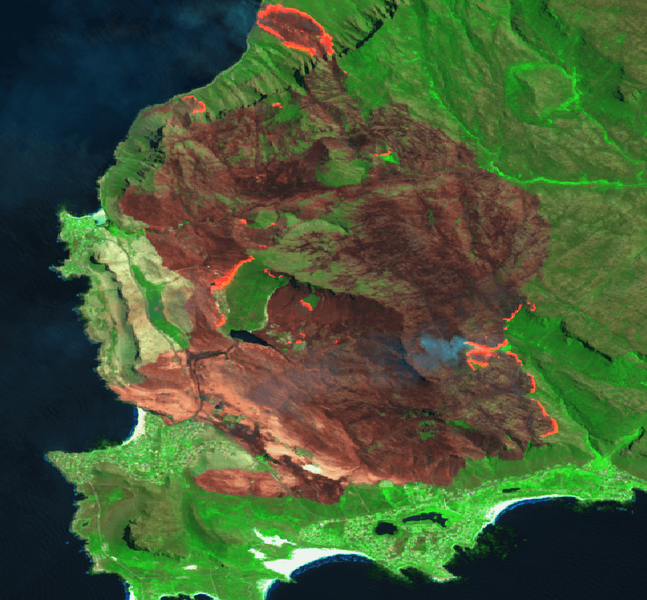
VIDEO #03 | THE TERRACLIM PROJECT | WHAT’S NEXT?
Wynland has released part three of Winetech's flagship project, TerraClim, being undertaken by the CGA. For many wine grape producers in South Africa, access to accurate and detailed climate and GIS data is limited. Terraclim is funded by Winetech and is an online spatial decision-support system specifically [...]