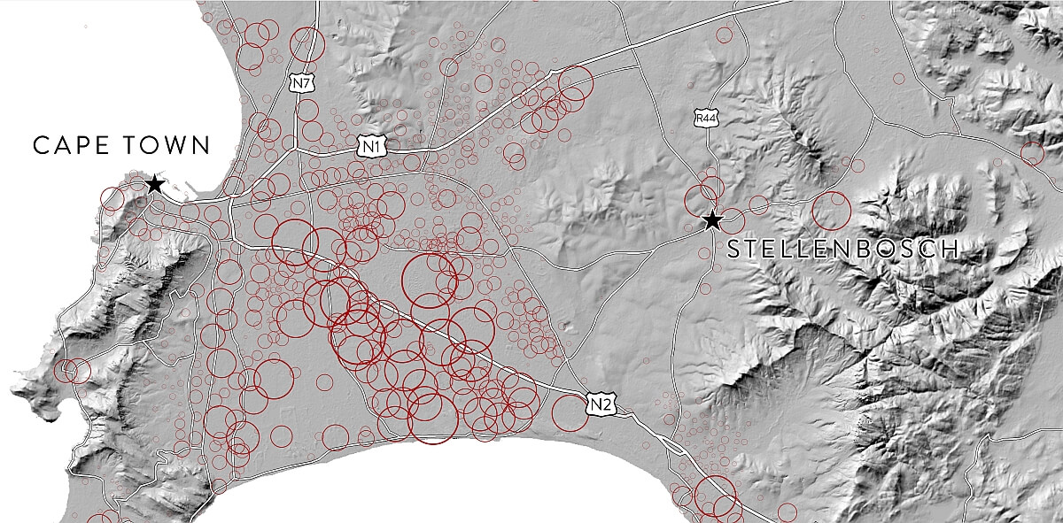
A hillshade of the new version 5m resolution Stellenbosch University Digital Elevation Model (SUDEM) can now be accessed online using a free Web Mapping Service. #sudemSA
The hillshade now includes Lesotho, Swaziland and extends into Namibia, Botswana, Zimbabwe and Mozambique so that it can be used for regional mapping purposes.
To add the hillshade in ArcMap, follow the following below. (An open internet connection is required)
Option 1 ArcMap:
- In ArcMap click the dropdown arrow next to the ‘Add data’ button.
- Select ‘Add Data From ArcGis Online…’.
- In the new window search for SUDEM. Then simply select the SUDEM hillshade and click ‘Add’.
Option 2 ArcMap (Manual):
- In ArcMap click the ‘Add Data’ button.
- Click the ‘Look in’ drop-down arrow and navigate to the ‘GIS Servers’. This will provide a list of servers you have previously used.
- Double-click ‘Add WMS Server’.
- Enter the URL pathname provided below to establish a connection and Click OK.
http://146.232.21.108/arcgisweb2/services/sudemhs/MapServer/WMSServer? - Double-click the WMS service you want to use (Hillshade of Stellenbosch University Digital Elevation Model on 146.232.21.108), select ‘Hillshade of Stellenbosch University Digital Elevation Model’ and click ‘Add’ to open it in ArcMap.
Option 3 QGIS:
- Simply select ‘Layer’ and then ‘Add WCS layer…’
- Click on the ‘New’ button, then paste the URL below in the box that opens.
http://146.232.21.108/arcgisweb2/services/sudemhs/MapServer/WCSServer? - Give the layer a name e.g. ‘Sudemhs’ and click OK.
- Click ‘Connect’, the layers will show in the box, select them and click ‘Add’.
- The hillshade should be added to your QGIS display.
To see the newest version of the SUDEM product description click here.