
Welcome to GIS & EO operator James Kapp
The CGA would like to extend a warm welcome to Mr James Kapp, who joined us as a GIS & EO Operator at the beginning of May. We are looking forward to working with [...]

Farewell to GIS & EO analyst Atman Prins
The CGA would like to say farewell to GIS & Earth Observation Analyst Atman Prins, who is leaving to take up a position in Dublin, Ireland. It has been a great pleasure working with [...]
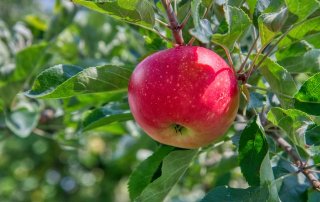
Using drone imagery and image segmentation techniques to automatically delineate individual apple trees
Drone imagery is often used to calculate vegetation indices such as the normalized difference vegetation index (NDVI) to characterize the condition of individual trees in orchards. Individual trees are often defined as a centroid (centre of the [...]
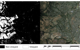
Efficacy of machine learning and LiDAR data for crop type mapping
By Atman Prins Accurate crop type maps are important for obtaining agricultural statistics such as water use or harvest estimations. The traditional approach to obtaining maps of cultivated fields is by manually digitising the [...]
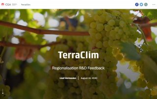
TerraClim – StoryMap
We are progressing well with the TerraClim project, and major milestone in the efficiency and accuracy of interpolations.The regional interpolation analysis divided the Western Cape study area into smaller regions using the local terrain [...]