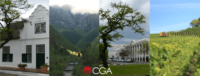
In September 2016, Stellenbosch Municipality and the Centre for Geographical Analysis (CGA) at Stellenbosch University embarked on a collaborative effort to share GIS data and services. As part of this collaboration, a comprehensive land audit for all properties within the Stellenbosch Municipal Area will be carried out.
Phase 1 of this project commenced in March 2017 and will see the development of a comprehensive geodatabase comprised of spatial cadastral land parcels, title deed information, municipal valuation roll information, servitude data, and historical land parcel boundary and ownership information.
This information, which will initially be stored and updated at the CGA, will allow the Municipality to spatially view, assess and analyse current and historical ownership information, land parcel registration status, servitude delineation, state land ownership, as well as information gaps and data errors for all 27 000+ properties in the Stellenbosch Municipal Area.
In addition to providing an efficient service to the municipality, this collaboration will expose students from the Department of Geography and Environmental Studies to the operational procedures of municipalities and what their spatial information needs are. We hope that this will stimulate further collaboration between Stellenbosch University and Stellenbosch Municipality, and hopefully assist the Municipality’s mission for cost-effective services that will provide an enabling environment for civil and corporate citizens.
