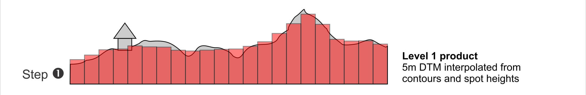
This figure describes the SUDEM processing procedure and the resulting products. The first step involves interpolation using spot heights and contours as input, which results in a generalized digital terrain model (DTM) at 5m resolution (Level 1 product). Most of the generalization occurs in flat areas (e.g. valley bottoms) where contours tend to have low densities.
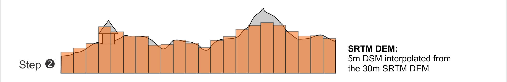
In the next step (Step 2) the 30m SRTM DEM is corrected (e.g. void and gap filling) and interpolated to 5m resolution. Level 1 product is then fused with the 5m SRTM DEM in Step 3, which results in a 5m DTM with much better detail in flat areas. Given that the SRTM DEM includes heights of objects on the terrain, the resulting Level 2 product is in some areas a digital surface model (DSM).
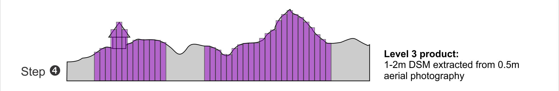
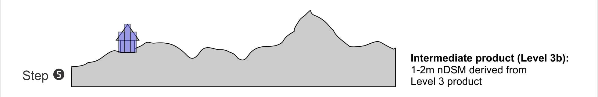
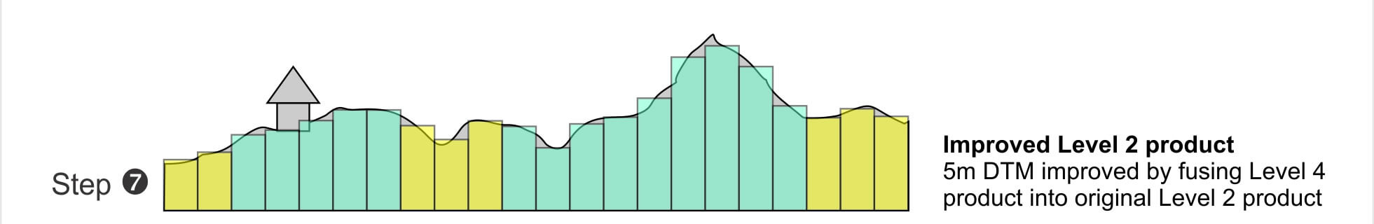
In Step 4 of the SUDEM development procedure highly accurate elevations are extracted from 0.5m stereographic aerial photographs to produce a very detailed (1-2m resolution) DSM called the Level 3 product. The Level 2 product is used to for correcting errors caused by shadows etc. This DSM is then analysed in Step 5 to identify surface objects (Level 3b product), which is then subtracted from the DSM to produce a DTM (Level 4 product) in Step 6. In the final step (Step 7) the latter product is resampled to 5m resolution and incorporated into the original Level 2 product.


Click to enlarge