
Advanced Earth Observation (attendance)
Mar 11 - Apr 5
| R6000Download the course prospectus
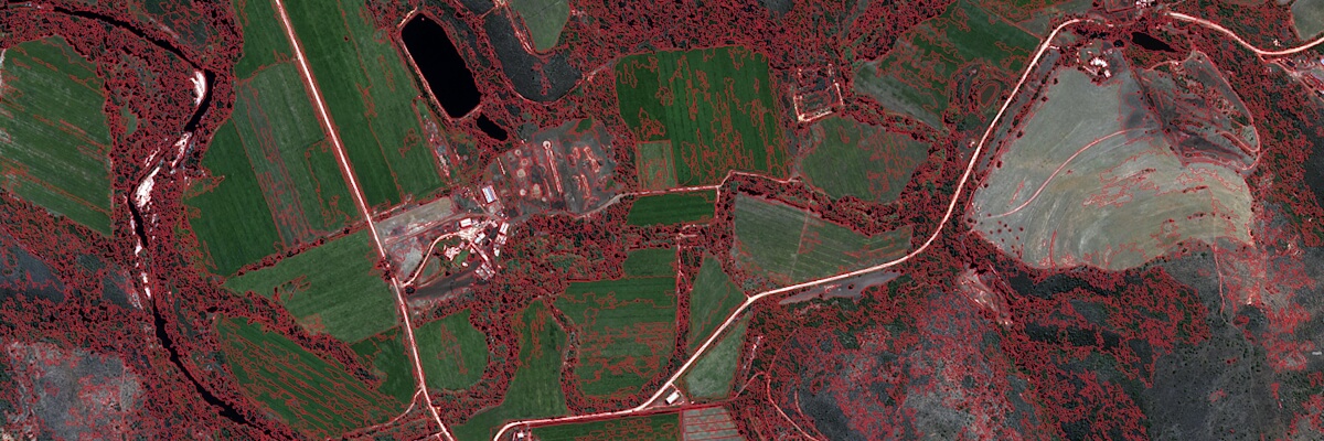
Advanced Earth Observation is a course aimed at intermediate earth observation (EO) practitioners who require instruction in the principles and techniques fundamental to GEOBIA, including image segmentation, object features, supervised and rule-based classification, use of thematic and ancillary data, and assessment of accuracy in an object-based environment. Upon completion, participants should understand the basic principles of GEOBIA and be able to carry out a GEOBIA workflow in the remote sensing software package of eCognition.
BASIC SKILLS NEEDED TO DO THIS COURSE?
Participants need to have an introductory level of understanding of earth observation.
ACCREDITATION
This course is accredited by Stellenbosch University, an accredited higher education provider.
OUTCOMES
Students who complete the full course will be able to:
- Understand and explain the need for pre-processing satellite imagery;
- Understand and explain the principles of supervised, unsupervised and expert system (rule-based) classification approaches;
- Describe frequently used image classification algorithms;
- Understand and explain the need for and application of image transformations;
- Understand the principals of accuracy assessment and sound field work;
- Describe the fundamentals of geographical object-based image analysis (GEOBIA);
- Understand object creation and describe a range of image segmentation algorithms;
- Describe various image object features, including spectral, textural, geometrical, contextual and relational features.
- Implement a simple image processing workflow in an object-based environment;
- Select, apply and assess various image transformations within an object-based environment;
- Perform a simple accuracy assessment of a object-based classification product;
- Integrate an earth observation product into a GIS application.
PRESCRIBED READING
There is no prescribed textbook for this course, but participants are encouraged to read the following articles:
– Geographic Object-Based Image Analysis – Towards a new paradigm by Blaschke et. al (2014), Available at: http://www.sciencedirect.com/science/article/pii/S0924271613002220
– Object based image analysis for remote sensing by Blaschke (2010). Available at: http://www.sciencedirect.com/science/article/pii/S0924271609000884
– Multiresolution Segmentation: an optimization approach for high quality multi-scale image segmentation by Baatz & Schäpe (1999). Available at: http://www.ecognition.com/sites/default/files/405_baatz_fp_12.pdf
Software requirements
Students need not be on campus during the duration of this course but need access to a computer loaded with ArcGIS Pro software and suitable remote sensing software (ENVI). Temporary software licences (valid for two months) can be supplied if necessary. To make sure your system meets the minimum requirements to run ArcGIS Pro click here. To check your computer’s ability to run ArcGIS Pro, click here.
COURSE STRUCTURE & COST
Attend-only option @ R 6 000
Students who are not interested in being assessed may choose to register for the first 4 weeks only (i.e., only get access to the lectures and exercises and not write the exam or complete any assignments). Students choosing this option will receive a certificate of attendance.
Students need not be on campus during the duration of this course but need access to a computer loaded with ArcGIS Pro software and suitable remote sensing software (ENVI). Temporary software licences (valid for two months) can be supplied if necessary.
Standard course fees are reduced by 20% for Stellenbosch University students and staff members if paid via an internal university cost point.
REGISTRATION
Attendance course click here.
Check our calendar for dates on when our other short courses are presented.