NEWS
Why GIS Matters to Everyone
Geographical Information Systems (GIS) is more than just mapping technology—it’s a tool that connects data to spatial location, enabling us to make better-informed decisions and understand our world more clearly. Whether you’re an individual, [...]
What is Geospatial Analysis?
Geospatial analysis is the process of gathering, interpreting, and visualising geographic data to understand spatial relationships and patterns. This field combines geography with data science, allowing researchers, policymakers, and businesses to uncover insights that [...]
James is working from Kenya
"Come visit Kenya!" James exclaims, "It's a beautiful country with very friendly people, and I feel like there's something for everyone to do here." James moved to Kenya earlier this year as a "trailing [...]
CURRENT PROJECTS
The Data CoOp
The Data CoOp project is the brainchild of Dr Gulu Bekker of the Department of Conservation Ecology and Entomology at Stellenbosch University that, in partnership with the CGA, aspires to revolutionise decision [...]
National water use quantification of indigenous forests
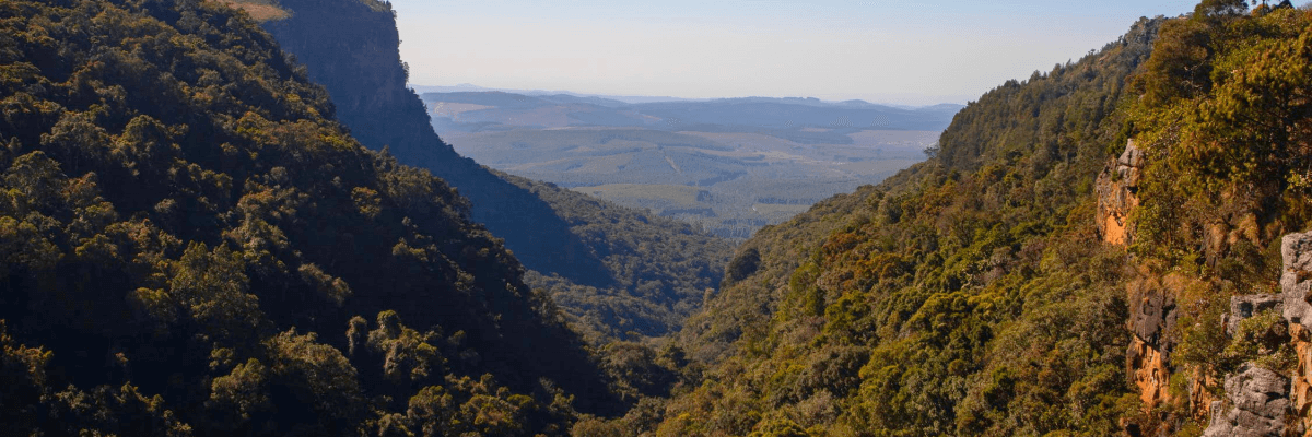
South Africa (SA) is classified as a water-scarce country, with an estimated 21% of SA considered arid and 44% regarded as semi-arid. The competition for water resources among land uses is high, [...]


