
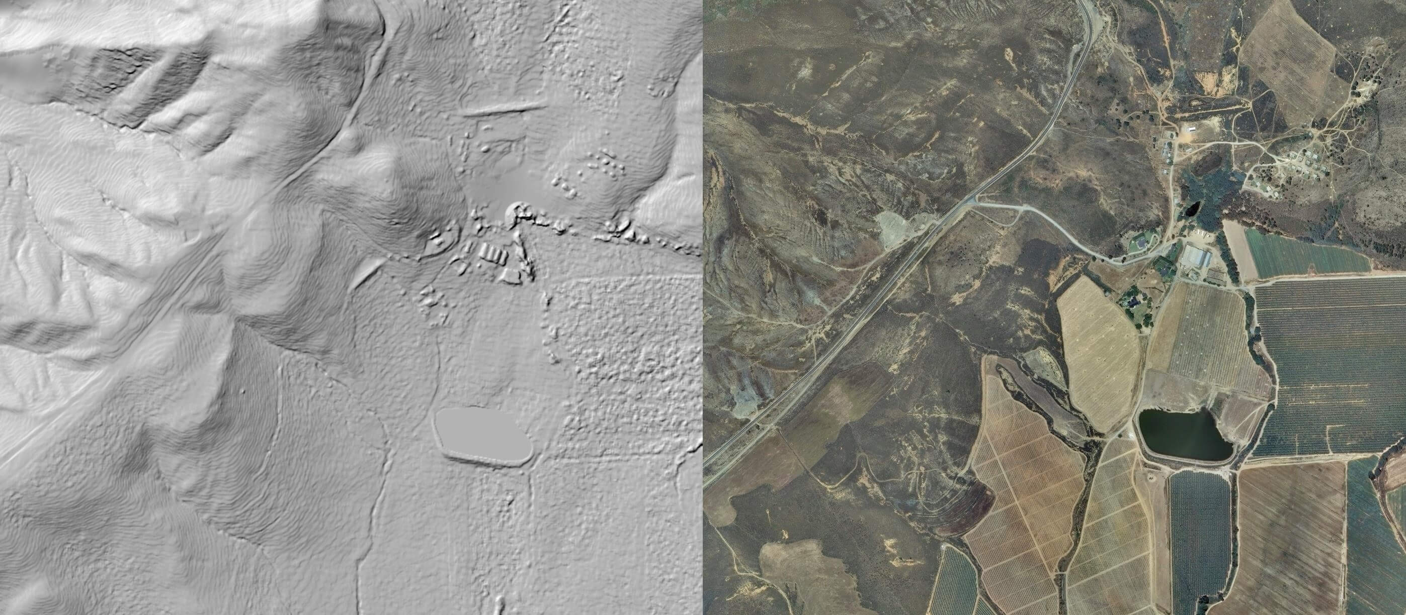
Specifications:
- Digital Surface Model (DSM*) derived from 0.5m aerial photographs
- Available for anywhere in South Africa 35cm mean vertical error
- Forms part of Stellenbosch University Digital Elevation Model (SUDEM)
- 1m resolution DSMs also available on request
Applications:
- Improved visualization of 2D geospatial data
- Map production
- GIS analyses and modelling
- Ideal for infrastructure planning
- Extract heights of terrain and surface features
- CAD drawings and plans
* Digital Terrain Model (DTM) also available at 2m resolution
To download the latest SUDEM product description click here.
For more information please contact: Doris Peters on (021) 808 3826 or email dpeters@sun.ac.za