About Carla Van Greunen

This author has not yet filled in any details.
So far Carla Van Greunen has created 6 blog entries.

What is Geospatial Analysis?

Geospatial analysis is the process of gathering, interpreting, and visualising geographic data to understand spatial relationships and patterns. This field combines geography with data science, allowing researchers, policymakers, and businesses to uncover insights that support better decision-making. At its core, geospatial analysis is about answering the “where” questions—where something is happening, where it’s likely [...]

What is Geospatial Analysis?2024-11-05T11:07:05+02:00

James is working from Kenya

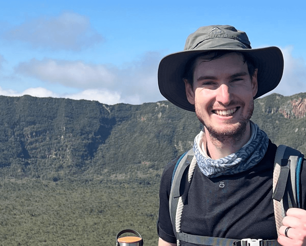
"Come visit Kenya!" James exclaims, "It's a beautiful country with very friendly people, and I feel like there's something for everyone to do here." James moved to Kenya earlier this year as a "trailing spouse". His wife, Becca, is now teaching at the Woodland Star School. For the next two years, they will be [...]

James is working from Kenya2024-10-03T15:10:31+02:00

Welcoming our new intern, Camilla

The CGA team would like to officially welcome Camilla de Kock as our newest intern. She's in town for two months, but can usually be found working as a GIS intern at the Buffalo City Metropolitan Municipality. Choosing to spend time at the CGA became her goal when she realised that she will gain [...]

Welcoming our new intern, Camilla2024-08-28T10:16:11+02:00

Juan gets his Masters in Sciences

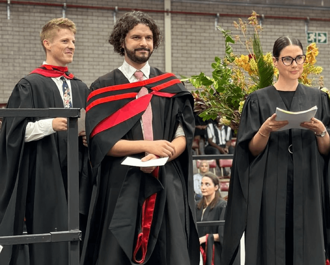
The CGA team would like to congratulate our GIS analyst, Juan du Plessis, on obtaining his Masters in Sciences earlier this year. Under the watchful eye of Dr Zama Eric Mashimbye, he tackled his thesis: Machine Learning for Regional Modelling of Soil Depth in the Western Cape of South Africa. With this he set [...]

Juan gets his Masters in Sciences2024-06-26T08:59:40+02:00

Caley publishes on plantation forest mapping

The CGA team would like to congratulate our GIS analyst, Caley Higgs, for publishing an academic article. The article, entitled Signature Extension as a Machine Learning Strategy for Mapping Plantation Forest Genera with Sentinel-2 Imagery, was published in the Remote Sensing Applications: Society and Environment journal in Jaunary of 2024. Having completed her Masters [...]

Caley publishes on plantation forest mapping2024-05-30T11:59:09+02:00

Did you know about our short courses?

The CGA, together with Stellenbosch University, offers short courses in Geographic Information Systems (GIS) and Earth Observation (EO). The courses, which are part-time, online and accredited by Stellenbosch University, provide applicants with the skills to make their own maps, to acquire, capture, edit and manipulate spatial data and to run a variety of GIS [...]

Did you know about our short courses?2024-05-08T11:41:12+02:00
Go to Top