Determining the minimum waterbody surface area that can be successfully detected using Sentinel-1

By Martin von Fintel Water is a scarce resource in South Africa, and 62% of the water used in South Africa is used for irrigation. This figure is likely to rise with increasing pressure on the agricultural sector to produce more food. Water for irrigation is stored in many small dams, scattered across the [...]

Determining the minimum waterbody surface area that can be successfully detected using Sentinel-12020-01-27T14:55:21+02:00

Atman Prins – GIS & EO ANALYST

Biography Atman completed his Bsc Honours in Geoinformatics in 2016, with his research focusing on using LiDAR data, template matching and region growing in order to count trees in a forestry plantation. In 2017 he started with his Msc in Geoinformatics and continued on with his research using LiDAR data. However, [...]

Atman Prins – GIS & EO ANALYST2021-03-15T17:39:35+02:00

Introduction to GIS Short Course – May 2017

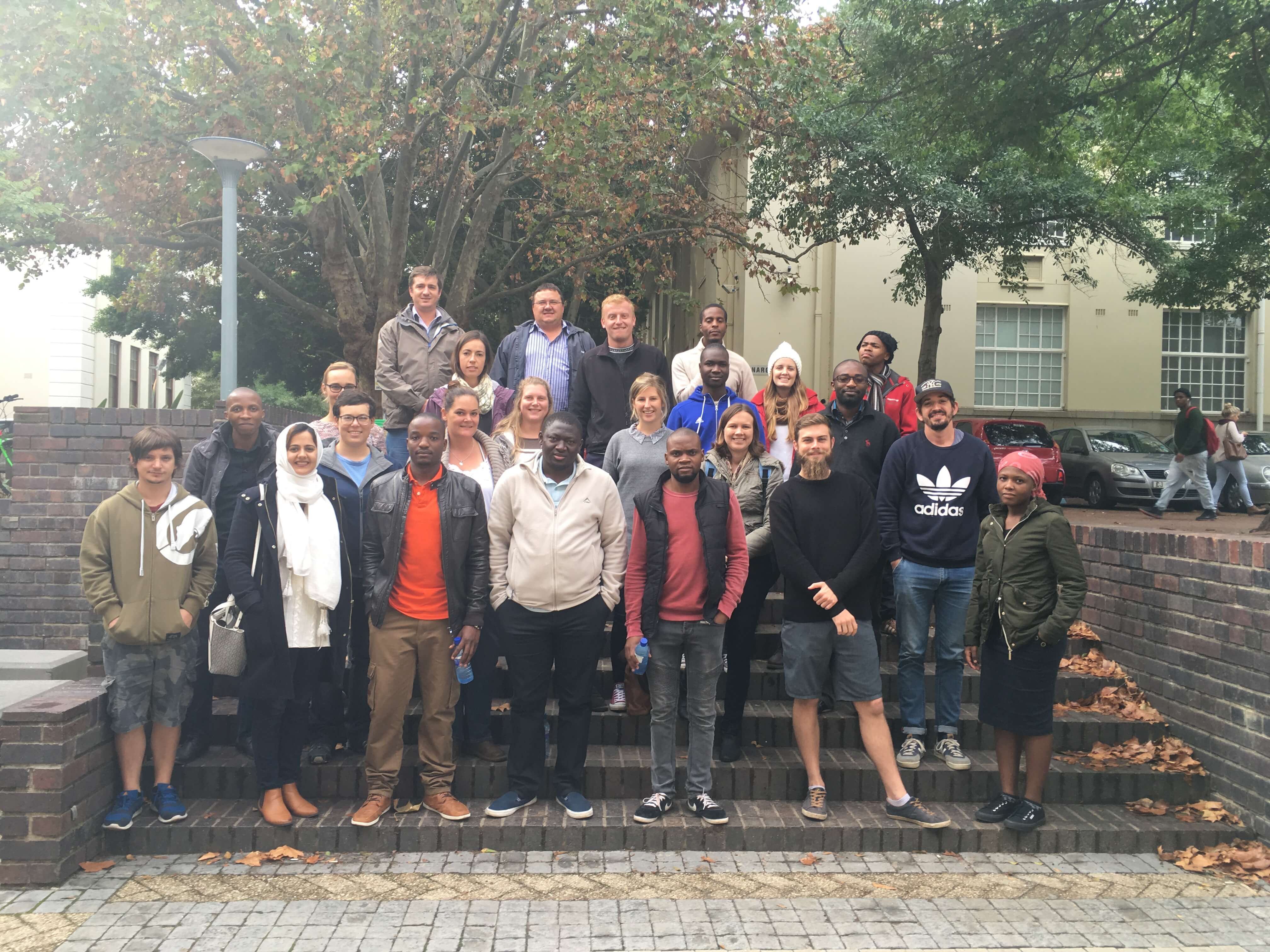
During the week of 8 -12 May 2017, the CGA presented another Introduction to GIS short course. 22 people attended, of which 14 chose the accredited version. The group included health care practitioners, statisticians, students and engineers, many of whom have never used a GIS before, and now feel confident to start applying [...]

Introduction to GIS Short Course – May 20172017-10-31T11:06:31+02:00

ESTIMATION OF TOTAL WATER USE BY IRRIGATED AGRICULTURE

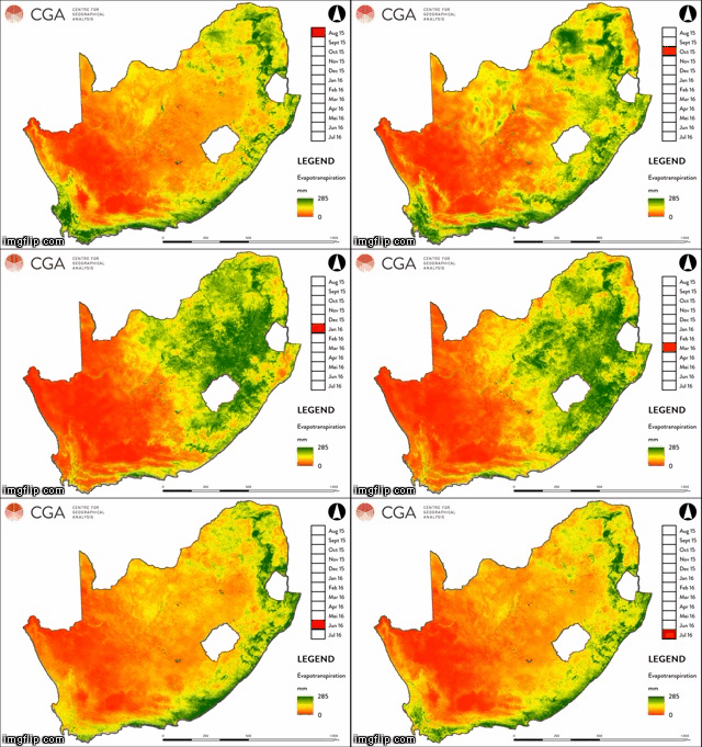
The CGA, in partnership with eLEAF ®, Agricultural Research Council, GeoTerra Image and several independent consultants, is currently carrying out research funded by the Water Research Commission (WRC) and the Department of Agriculture, Forestry and Fisheries (DAFF) to estimate the total water used by irrigated agriculture. Earth observation data (e.g. satellite imagery) is the primary source of [...]

ESTIMATION OF TOTAL WATER USE BY IRRIGATED AGRICULTURE2017-03-29T09:57:22+02:00

Web-based road-accident and road-condition data integration

The CGA, in collaboration with the Department of Civil Engineering at Stellenbosch University, recently completed a web mapping project for the Provincial Government of the Western Cape (PGWC) relating to accident hotspots on provincial roads. The aim was to integrate data on road conditions and characteristics provided by PGWC’s Road Network Information System (RNIS) [...]

Web-based road-accident and road-condition data integration2017-03-13T13:12:24+02:00
Go to Top