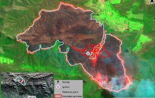
Assessing the ability of the Prometheus Fire Simulation Model to predict fire spread based on the 2018 George fire
By Lauren McCarthy Wildfires occur globally, destroying thousands of hectares of vegetation, affecting ecosystems, the environment, and humans. Fire spread models, based on fire behaviour algorithms, have been developed in different regions to aid [...]
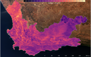
Sentinel-3 land surface temperature for air temperature estimation
Air temperature varies across the Earth and as such it can be represented as temperature surface (map). Temperature surfaces provide critical information for applications relating to climate change adaptation and agricultural planning [...]
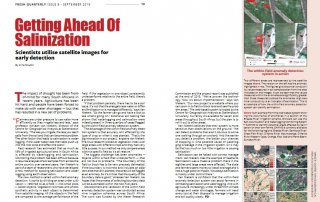
Getting ahead of Salinization – article in Fresh Quarterly
The drought in South Africa in recent years has forced farmers to change their watering habits and use water more efficiently, resulting in crops being irrigated less frequently. This can lead to the [...]
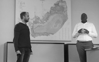
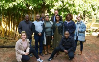
Mfanafuthi Gama from the DARDLR presents on NSPDR
On the 7th of August, the CGA and the Department of Geography and Environmental Studies were visited by Mr Mfanafuthi Gama of the Department of Agriculture, Rural Development and Land Reform. He [...]
Introduction to GIS short course – June 2019
The CGA presented their Introduction to Geographic Information Systems (GIS) short course from 3rd to 7th of June, which was attended by 8 delegates. This course is aimed at beginners to GIS and teaches [...]
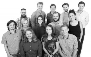
The CGA is growing!
The CGA expanded at the beginning of 2019, adding a number of new members of staff to our team. We would like to welcome Dr Tara Southey, Mr Adriaan Prins [...]