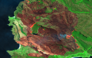
Overberg Fire in satellite imagery
See below a comparison of Sentinel 2 images of the fires affecting the Overberg area. On the left are images taken on the 22nd of December 2018 before the fires started, and on the [...]
SAEO challenge
The CGA is proud to be one of the winners of the SAEOchallenge! It seems that the judges agreed that our earth observation technology to map and monitor [...]
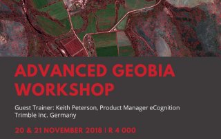
Advanced GEOBIA Workshop
The CGA is excited to be hosting an Advanced GEOBIA workshop with guest trainer Keith Peterson, Product Manager eCognition Trimble Inc. Germany. Themes that will be covered include convolutional neural networks; customised algorithms; [...]
WRC publishes irrigated water use report
The four-year CGA project for the WRC, An Earth Observation Approach towards Mapping Irrigated Areas and Quantifying Water Use by Irrigated Crops in South Africa, has been published by the WRC and [...]
Introduction to Earth Observation Short Course – August 2018
The CGA presented their Introduction to Earth Observation short course from 13-17 August 2018, which was attended by 16 delegates. This course is aimed at beginners to earth observation, and teaches the [...]
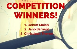
CGA Map Competition Winners!
Congratulations to our Map Competition winners! First place - Ockert Malan Second place - Jano Barnard Third place - Christiaan Theron The CGA would like to thank Dr Jaco Kemp, Jan De [...]

