
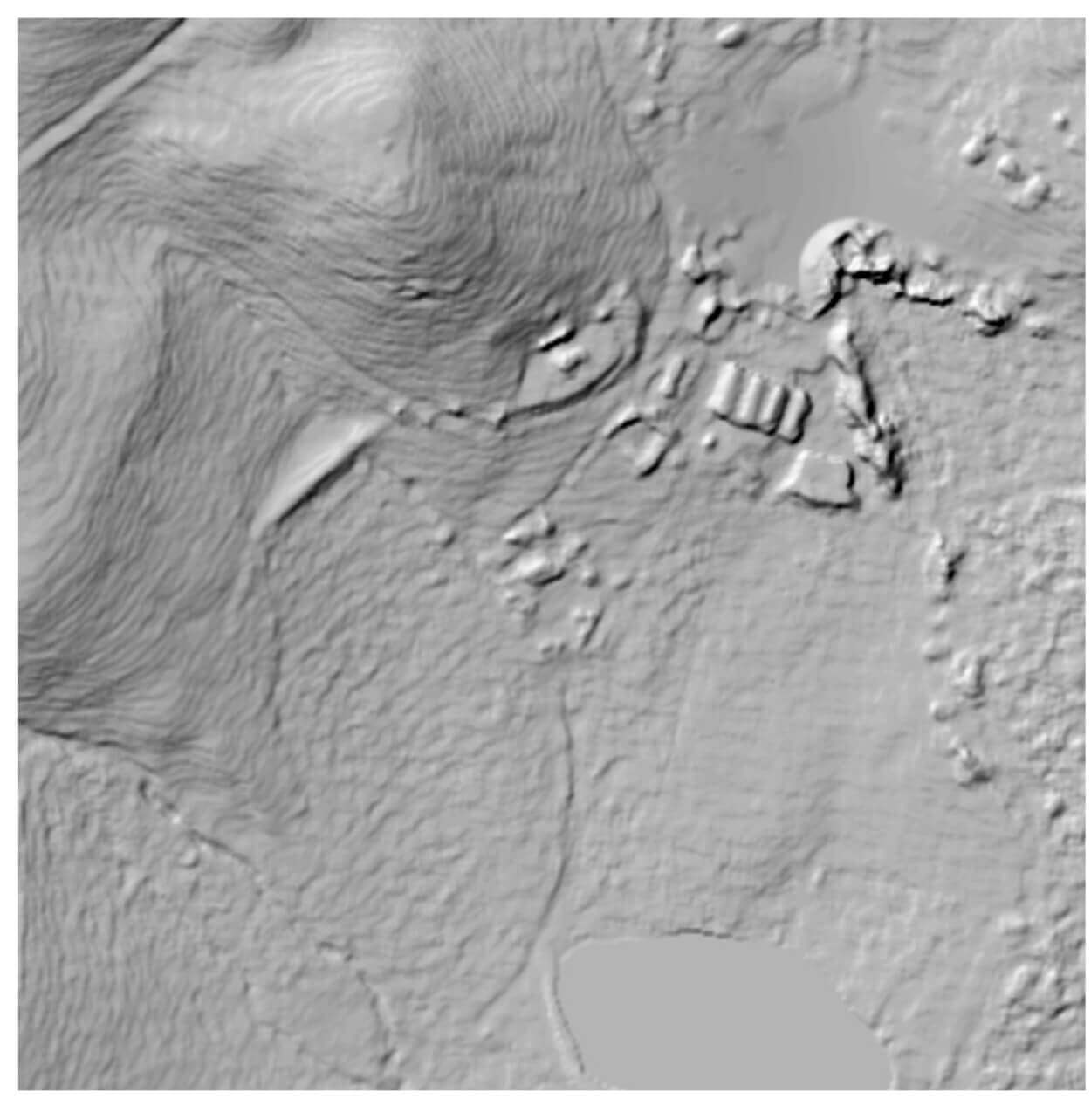
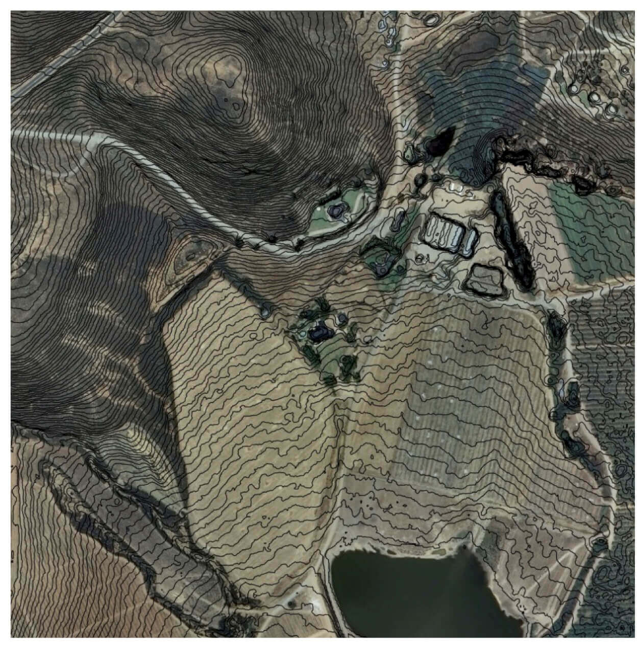
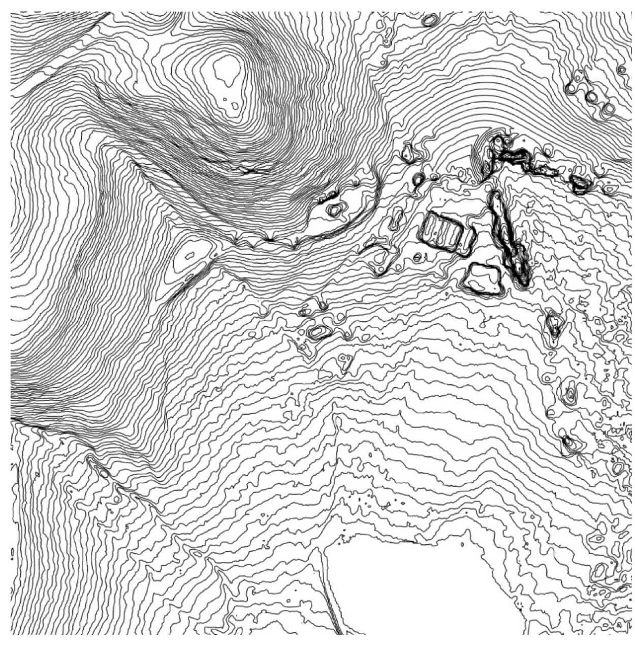
Specifications:
- Derived from 2m resolution digital surface model (DSM*)
- Available for anywhere in South Africa
- 40cm vertical accuracy
- Contours derived from 2m DSM or terrain model
- Forms part of Stellenbosch University Digital Elevation Model (SUDEM)
* DTM also available
Applications:
- Improved visualization of 2D data
- Map production
- GIS analyses and modelling
- Ideal for infrastructure planning
- Extract heights of terrain and surface features
- CAD drawings and plans
For more information on the SUDEM, please visit https://geosmart.space/products/contours.html