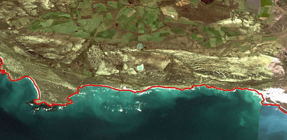
Data capturing includes the collection or creation of spatial information for use in geospatial representation or analysis. Data capturing performed by the CGA can include tablet or on-screen digitising, scanning, manual database entry, field-work collection, and a wide variety of spatial data acquisition.
Data capturing performed by the CGA can include tablet or on-screen digitising, scanning, manual database entry, field-work collection, and a wide variety of spatial data acquisition.
Notable completed digitising projects include:
- A detailed high tide coastline of South Africa, from high resolution aerial photographs [link to Products:Coastline]
- The urban edges and formal/informal sectors of towns in the Western Cape [link to Products:UrbanEdges]
- The current regions for bottlers of The Coca-Cola Company, from 1989 legal contracts;
- The 1907 train tracks of South Africa, from historical maps;
- The 1911 Census regions of South Africa, from historical maps;
- The bathymetry, coastline and point depths for a number of sites along the African coast, for WSP Coastal Engineers.
- The geology of the northern region of Western Australia, from the Australian 1:250000 geological map series
