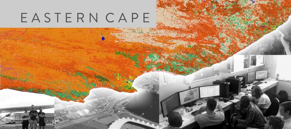
The land cover mapping project for four areas of the Eastern Cape (Rietbron, Nieu-Bethesda, Burgersdorp and Cradock) is now in the final stages of field verification and error correction. The project will be completed towards the end of March.
For more about CGA land cover projects see our completed project or click here.
The land-cover data set the CGA will produce will be in accordance with the Land-Cover Field Guide (Lück et al., 2010), Core Metadata Elements, Land Cover Legend, Field Verification Template, Field Verification List and NGI-required directory structure.
The classification was done using 10m 4-band SPOT 5 imagery as the primary source for the classification, though other sources of information was used. All 32 classes of the LCCS based South African Land-cover Legend was mapped if they occurred in the study area.
