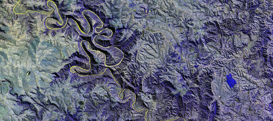
GeoComputation involves geographical (spatial) analysis and modelling and typically includes the development of methods to model and solve a range of highly complex, often non-deterministic problems. The aim is to provide enabling technologies for quantitative geographical analyses and to overcome associated computational challenges.
The CGA is actively involved in this field of research, in particular image classification, spatial modelling, and visualization. In many cases the techniques that are developed as part of this theme relates to specific projects and applications, but in many cases can be extended to have more universal value. A main thread of activity is the automation of complex and often time-consuming tasks or enabling the development of wide-scale geographical products.
