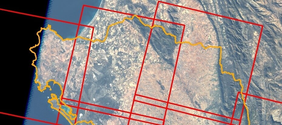
Orthorectification is the process of geolocation and terrain distortion correction of aerial or satellite imagery. Depending on the nature of the imagery, this process can involve the matching of identifiable points on the ground to their corresponding points on an image, often making use of specific camera calibration variables, aeroplane/satellite position and orientation relative to the earth, and a digital elevation model (DEM). Orthorectification projects can range from one to hundreds of images.
The CGA is able to perform highly accurate orthorectification projects through the use of the latest orthorectification software, high resolution aerial imagery and the 5m Stellenbosch University DEM (SUDEM) See SUDEM
Notable completed orthorectification projects include:
- The orthorectification and mosaicking of over 650 1938 images of the West Rand, for the Council of Geoscience [link to http://www.geoscience.org.za/]
- The georeferencing and orthorectification of historical aerial photographs dating back to 1937 for a various regions along the coast of South Africa, for WSP Africa [link to http://www.wspgroup.com/en/Welcome-to-WSP-Africa/Services-Africa/Services-Container-Africa/Coastal-engineering/]
- Numerous historical aerial and satellite orthorectification projects for land cover change detection in the regions of Paarl, Stellenbosch, Botvlei, Agulhas, Cape Point, Newlands, Fish Hoek, Greenpoint, Hawequas, the Berg River, the Olifants River, Richards Bay, Stanger and Tugela.
