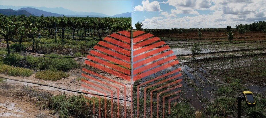
This research project, initiated by the Water Research Commission (WRC) of South Africa, is experimental in nature. Various techniques are applied and compared to empirical (reference) data to determine their potential for monitoring and quantifying water logging and salt accumulation. The large scope of this project includes 9 major irrigation schemes in South Africa.
Some of the techniques used are: Multi-temporal satellite imagery and vegetation response analysis; direct salt accumulation detection using salinity indices; and terrain analysis. For the spectral analysis statistical models such as regression modelling (linear, exponential, Partial Least Squares and multi-step) decision tree analysis (CART) and various supervised classification models (Maximum likelihood, Nearest neighbour, Support Vector Machines, Random Forests) were used. The terrain analysis included creation of digital surface models from raw aerials and in turn creation of various water accumulation rasters.
If a particular area is identified as being susceptible for salt accumulation by more than one of the techniques, then that area will receive a higher overall susceptibility score than an area for which only one (or none) of the components registered a likelihood of water logging and salt accumulation. This is a common geographical information system (GIS) and multi criteria decision making (MCDM) approach to spatial analysis. It is important to note that the resulting model will not replace in-field monitoring, but can be used as a scoping tool for identifying areas in need of more detailed investigations.
Evaluating and selecting an appropriate method for monitoring water logging and salt accumulation is, however, a difficult task, mainly due to the lack of empirical data (i.e. soil samples and analyses) and the dynamic nature of water logging and salt accumulation.
The project is in its final stages and a more detailed report and results section will be released as soon as the project is complete.
Below are some examples of the areas identified as salt effected and/ waterlogged using an object based approach.

