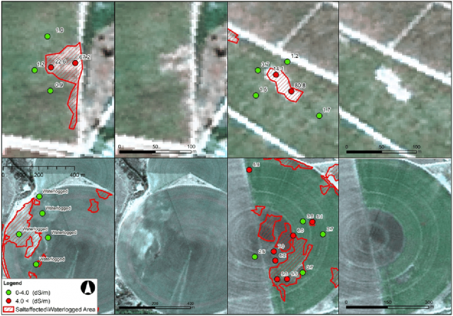
This project, undertaken for the Water Research Commission (WRC) of South Africa, builds on research conducted for the WRC in the Quantification of Salt Accumulation of Water Logging in Irrigation Schemes project of 2013-2016.
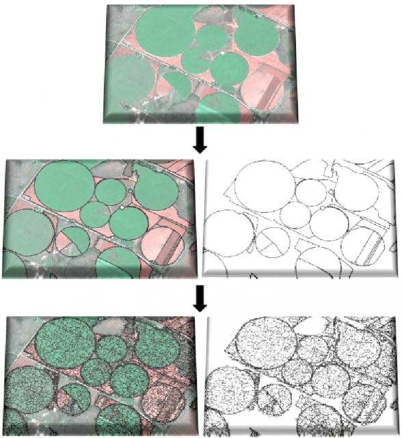
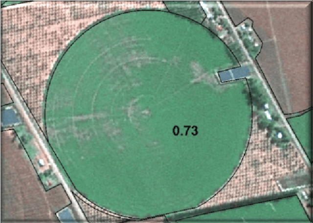
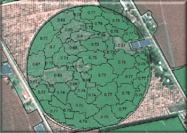
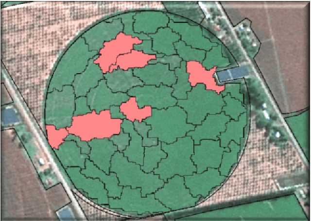
Specifically, the aim of the project is to develop a system that automatically analyses multi-temporal satellite imagery for identifying areas within cultivated fields that are likely affected by waterlogging or salt accumulation and to disseminate this information to end-users through the development and implementation of an online GIS application.
To view the publication of the SAWMS project please click here.
