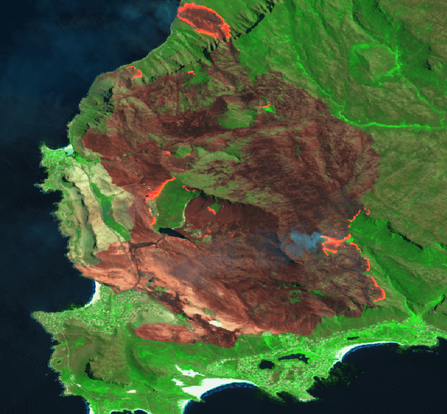
Overberg Fire in satellite imagery
See below a comparison of Sentinel 2 images of the fires affecting the Overberg area. On the left are images taken on the 22nd of December 2018 before the fires started, and on the right are images taken on the 6th of January, when the burnt area was estimated at 5600ha. On the 8th [...]

