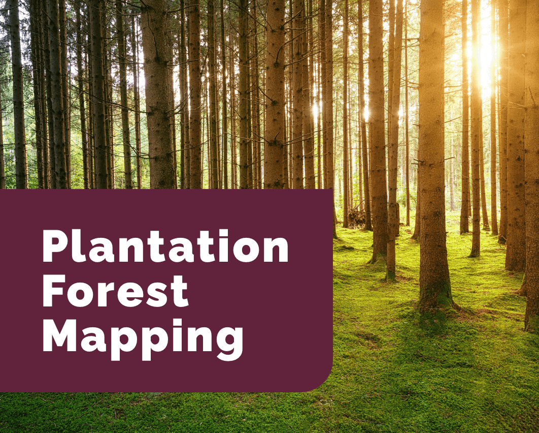
Caley publishes on plantation forest mapping
The CGA team would like to congratulate our GIS analyst, Caley Higgs, for publishing an academic article. The article, entitled Signature Extension as a Machine Learning Strategy for Mapping Plantation Forest Genera with Sentinel-2 Imagery, was published in the Remote Sensing Applications: Society and Environment journal in Jaunary of 2024. Having completed her Masters [...]