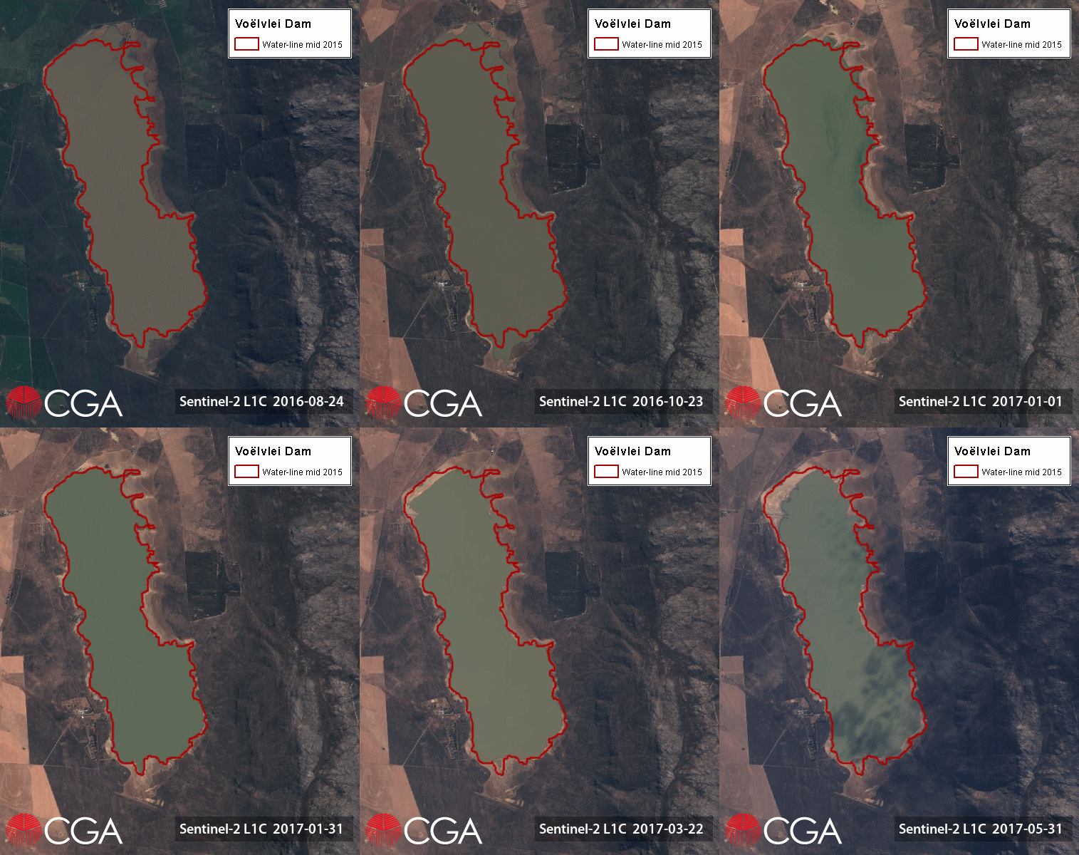
Second only to Theewaterskloof Dam in capacity, Voëlvlei is the third dam being considered in our satellite image time-series. Commissioned in 1952, the dam was constructed by impounding the natural Voëlvlei lake near Gouda, creating the first large water supply scheme in the Berg River catchment. Due to the relatively small size of the catchment, additional water is abstracted to the dam from neighbouring rivers, adding approximately 1.7 million cubic meters of water daily. The dam provides water to the towns of Riebeek-Kasteel, Riebeek-Wes, Malmesbury, Darling and Moorreesburg, as well as over 1.8 million cubic meters of water per day to the City of Cape Town.
Voëlvlei Dam reached record lows in May 2017, and despite the recent rains, the water level currently stands at only 18% (19 June). With Voëlvlei and Theewaterskloof (currently 17.3%) making up over 70% of Cape Town’s water supply, a lot more rain is needed before the water crisis is eased.
The water levels of the dams supplying Cape Town are updated weekly, and can be viewed on the City of Cape Town’s website.

