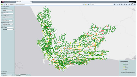
The CGA, in collaboration with the Department of Civil Engineering at Stellenbosch University, recently completed a web mapping project for the Provincial Government of the Western Cape (PGWC) relating to accident hotspots on provincial roads. The aim was to integrate data on road conditions and characteristics provided by PGWC’s Road Network Information System (RNIS) with geocoded road accident data dating back several years. This will allow the PGWC to identify problematic road areas and to determine whether high accident numbers are linked to the condition or characteristics of the road.
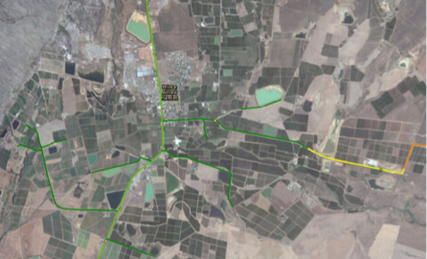
Various visualisation options are provided, allowing the user to investigate problematic parts of roads at different scales and over different timeframes and to visualise individual accidents. The user can click on individual road sections and accidents to open pop-up windows with more information, and this data can be exported to Excel and PDF for further analyses or inclusion in reports. The user can also choose between different backgrounds such as ESRI’s basemap and satellite layers, OpenStreetMap and the high-resolution aerial imagery provided by the Chief Directorate of National Geospatial Information (CD:NGI).
Furthermore, the web app, which was created using ArcGIS’s API for Microsoft Silverlight, allows the user to run custom queries relating to accident constraints and RNIS data. The output is given in a pop-up window and can also be exported to Excel or PDF. For example, a query can be generated to select all head-on accidents involving light vehicles that occurred on tarred roads between 4 and 8 metres in width, and summarise all other information relating to these accidents.


