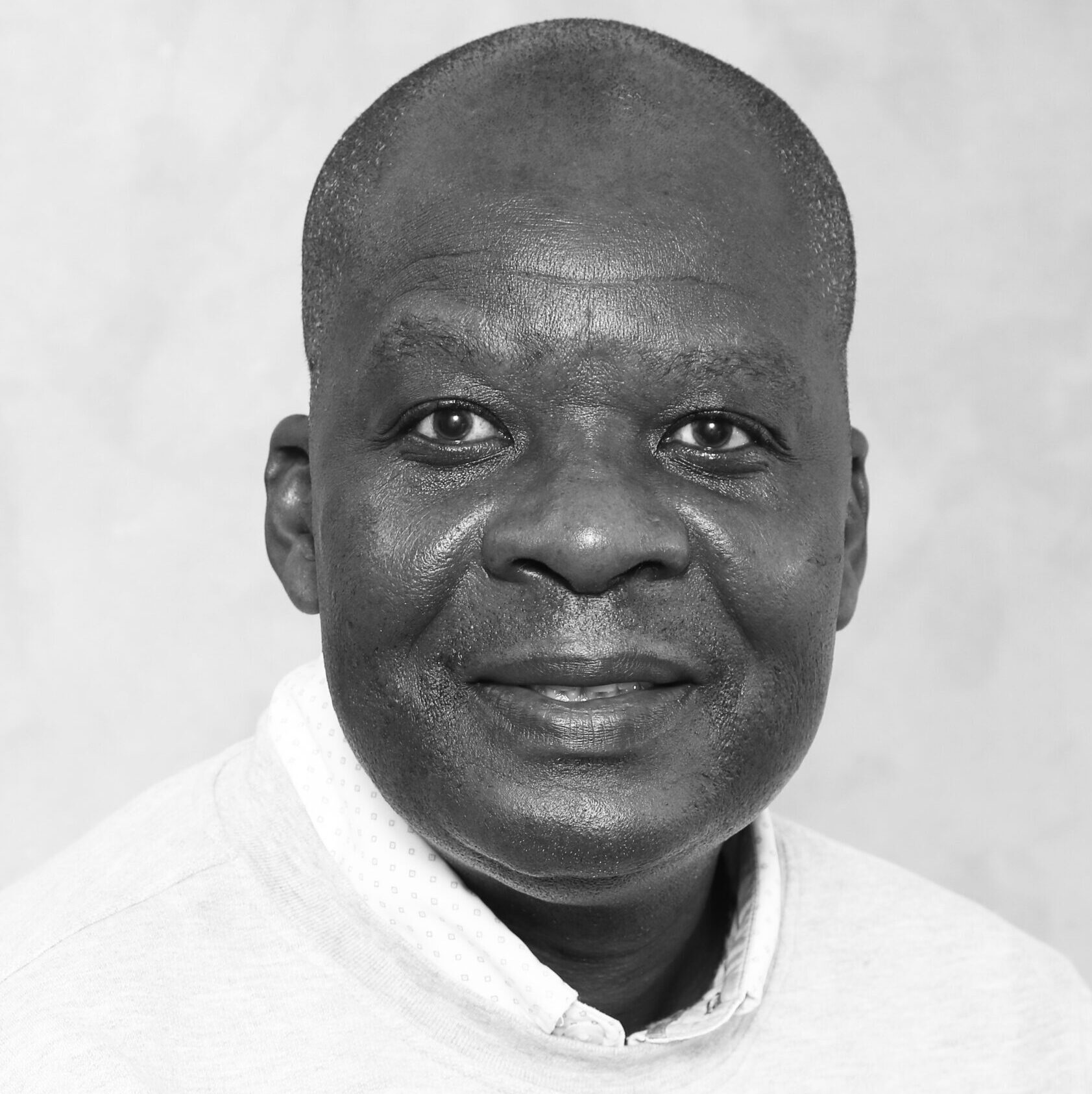
Mashimbye Zama Eric (PhD) joined the Department of Geography and Environmental Studies in July 2016. Eric worked as a Researcher at the Agricultural Research (ARC) Council before joining Stellenbosch University. While at the ARC Eric worked on a variety of projects, amongst others soil degradation (erosion and salinity) and land cover mapping.
Eric is registered with the South African Council of Natural Scientific Professions (SACNASP) as a Professional Natural Scientists, and the South African Geomatics Council as a Professional GISc Practitioner
- Remote sensing of agriculture
- Digital soil mapping,
- Soil degradation,
- Object-based remote sensing,
- Hyperspectral remote sensing,
- Land cover & land use dynamics
Articles
https://scholar.google.co.za/citations?hl=en&user=QAlF3C4AAAAJ&view_op=list_works&sortby=pubdate
Peer review
- Mashimbye ZE, Zietsman HL and Schloms BHL, 2009. Remote sensing-based identification and mapping of salinized irrigated soils: a case study between Keimoes and Upington, Northern Cape Province, South Africa. Proceedings of the 33rd International Symposium on Remote Sensing of Environment.
Publications - Mashimbye ZE, Cho MA, Nell JP, De Clercq WP, Van Niekerk A and Turner DP, 2012. Model-based integrated methods for quantitative estimation of soil salinity from hyperspectral remote sensing data: a case study of selected South African soils. Pedosphere 22 (5), 240 -249.
- Mashimbye ZE, De Clercq WP and van Niekerk A, 2014. An evaluation of digital elevation models (DEMs) to delineate land components. Goederma 213, 312-319.
Scientific reports
- Le Roux JJ, Mashimbye ZE, Weepener HL, Terry TS and Pretorius DJ, 2008. Erosion status of priority tertiary catchment areas identified by the Soil Protection Strategy of the Department of Agriculture. Report prepared for the ARC-Institute for Soil, Climate and Water. Report GW/A/2008/17.
- De Clercq WP, Jovanovic N, Bugan R, Mashimbye ZE, du Toit T, van Niekerk A, Ellis F, Wasserfall N, Botha P, Steudels T, Helmschrot J and Flugel A, 2013. Management of human-induced salinization in the Berg river catchment and development of criteria for regulating land use in terms of salt generating capacity. WRC. Report No. 1849/1/13.
- Mashimbye ZE, Cho MA, Ramoelo A, Tswai DR, Nkambule V and Mutanga O, 2014. Exploratory study in support of the planned South African EO-SAT1 satellite for agricultural applications (Crops and rangelands). Report prepared for the South African Space Agency (SANSA
Conference/Workshop
- Mashimbye ZE, De Clercq WP and Van Niekerk A, 2016. Terrain attribute based soil salinity prediction at catchment scale. Society of South African Geographers Conference, 25 – 29 September, Stellenbosch, South Africa.
- Mashimbye ZE, Cho MA, Nell JP, De Clercq WP Van Niekerk A and Turner DP, 2012. Model-based hyperspectral quantification of saline soils. Second South African Society of Chemometrics Conference, 7 – 11 May, Irene, Pretoria.
- Mashimbye ZE, De Clercq WP and Van Niekerk A, 2012. Near-infrared spectroscopy and chemometric modelling of salt-affected soils. Second South African Society of Chemometrics Conference, 7 – 11 May, Irene, Pretoria.
- Mashimbye ZE, de Clercq WP and Van Niekerk A 2011. Hyperspectral characterization of salt-affected soils in the Sandspruit Catchment. Combined Congress, 18 – 20 January 2011, Pretoria, South Africa.
- Mashimbye ZE and Cho MA, 2010. Spectroscopy of Salt-Affected soils. In A Dryland Salinity, Land use and Hydrological Modelling Workshop, 03 March 2010, STIAS, Cluverweg, Stellenbosch, South Africa.
- Mashimbye ZE, Zietsman HL and Schloms BHL, 2009. Remote sensing-based identification and mapping of salinized irrigated soils: a case study between Keimoes and Upington, Northern Cape Province, South Africa. 33rd International Symposium on Remote Sensing of Environment, 4 – 8 May, Stresa, Italy.
021-808 9702
021-808 3109
ericm@sun.ac.za

