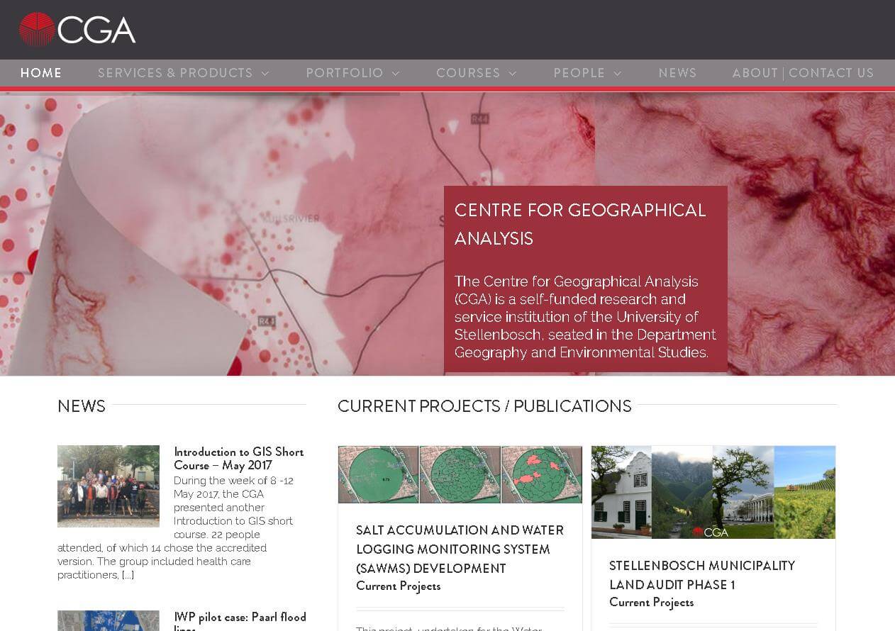
Launch of our newly redesigned website
The CGA is proud to announce the launch of our newly redesigned website, https://www0.sun.ac.za/cga/ The primary objective of this effort was focused on aesthetics, updating content, and simplifying navigation. Have a look at our updated services and products, portfolio, course calendar, and news articles. We would love to get feedback from users! [...]