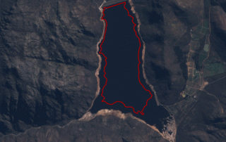
Satellite image time-series of main dams supplying Cape Town with water – Berg River Dam
The Berg River Dam, the most recently established large dam supplying Cape Town with water. The 68 m tall, concrete-face rockfill dam with a capacity of 130 million cubic metres makes up 14% of the water storage capacity in the Greater [...]
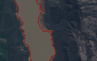
Satellite image time-series of main dams supplying Cape Town with water – Voëlvlei Dam
Second only to Theewaterskloof Dam in capacity, Voëlvlei is the third dam being considered in our satellite image time-series. Commissioned in 1952, the dam was constructed by impounding the natural Voëlvlei lake near Gouda, creating the first large water supply scheme in the [...]
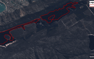
Satellite image time-series of main dams supplying Cape Town with water – Steenbras Dams
In support of the efforts to alleviate the water shortage in the Cape Town region, the CGA is releasing a satellite image time-series of the main dams that supply the City of Cape [...]
Recent media releases
The CGA would like to share with you the recent media releases of the wide-scale modelling of water use and water availability with earth observation/satellite imagery project. The CGA in collaboration with Dr [...]
Launch of our newly redesigned website
The CGA is proud to announce the launch of our newly redesigned website, https://www0.sun.ac.za/cga/ The primary objective of this effort was focused on aesthetics, updating content, and simplifying navigation. Have a look at [...]
Introduction to GIS Short Course – May 2017
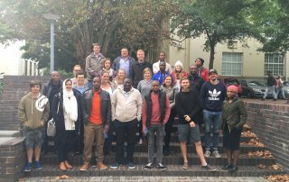
During the week of 8 -12 May 2017, the CGA presented another Introduction to GIS short course. 22 people attended, of which 14 chose the accredited version. The group included health care practitioners, [...]

