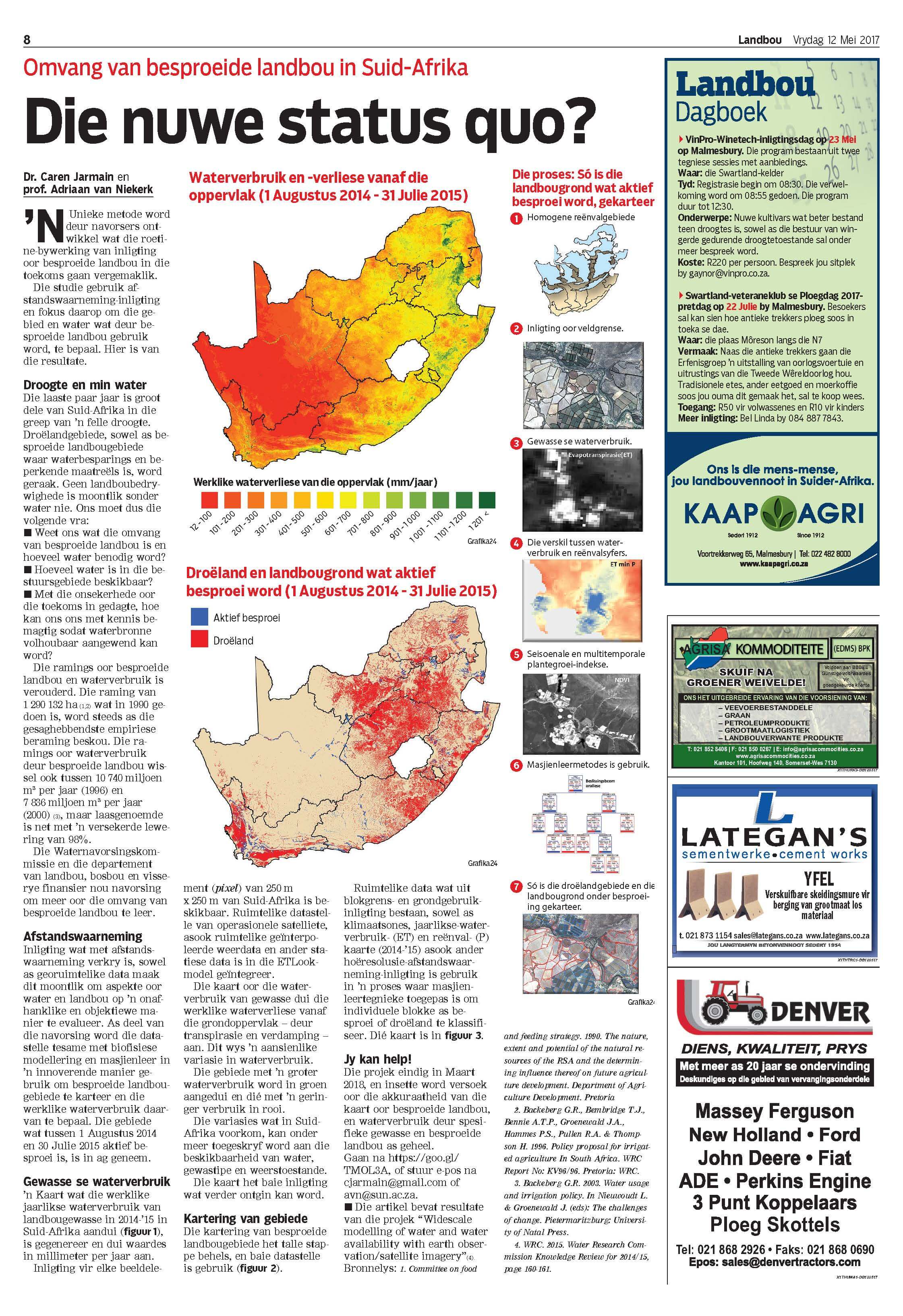
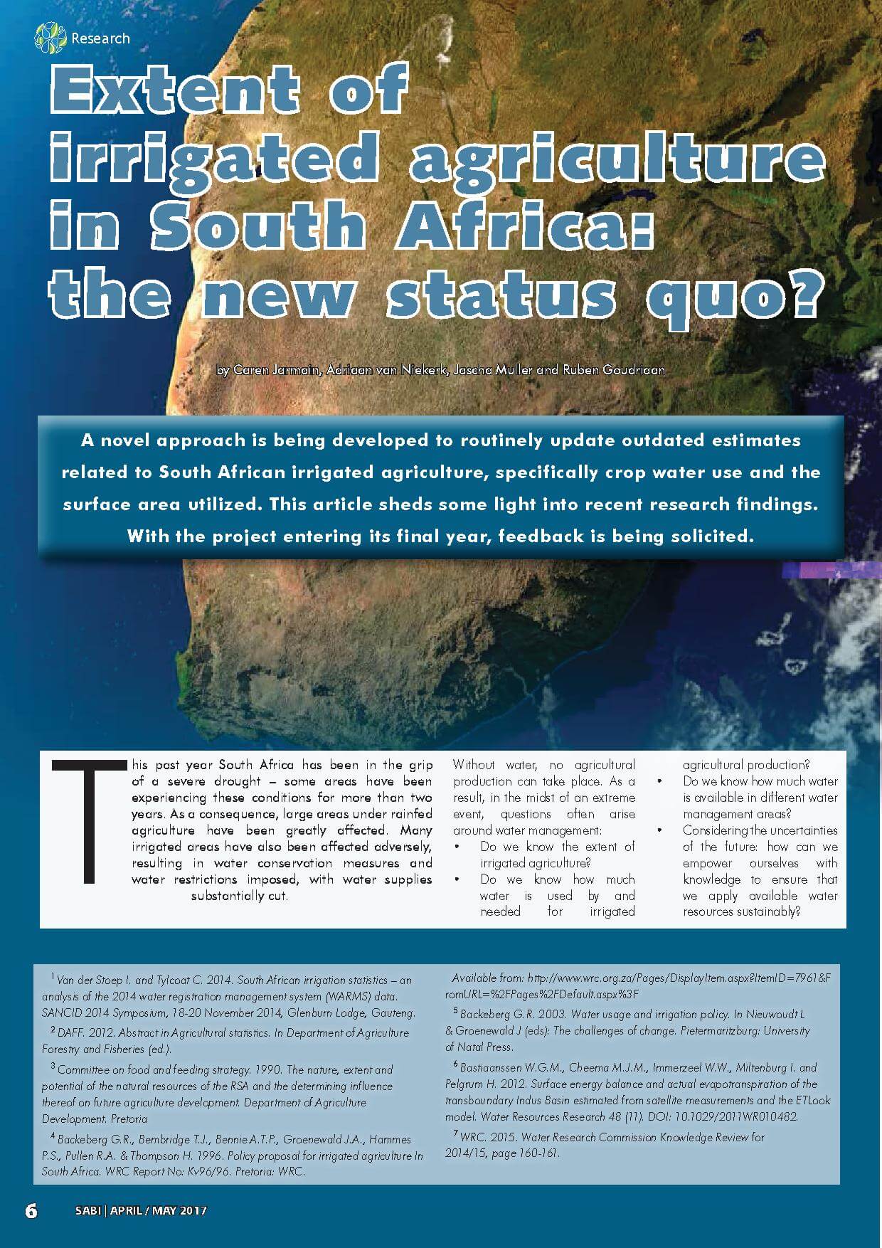
The CGA would like to share with you the recent media releases of the wide-scale modelling of water use and water availability with earth observation/satellite imagery project.
The CGA in collaboration with Dr Caren Jarmain (independent consultant), GeoTerraImage and eLEAF of the Netherlands aims to update the existing estimations of the extent of irrigated area in South Africa, and quantify the amount of water used by irrigated agriculture. This is being done by employing various earth observation and geographical information systems techniques, including the mapping of irrigated areas and the modelling of potential and actual evapotranspiration at national scale.
The project aims to demonstrate how this information can be used to determine how much water (if any) is available for new allocations.
The articles can be viewed by clicking on the following links to Die Burger and the SABI Magazine


