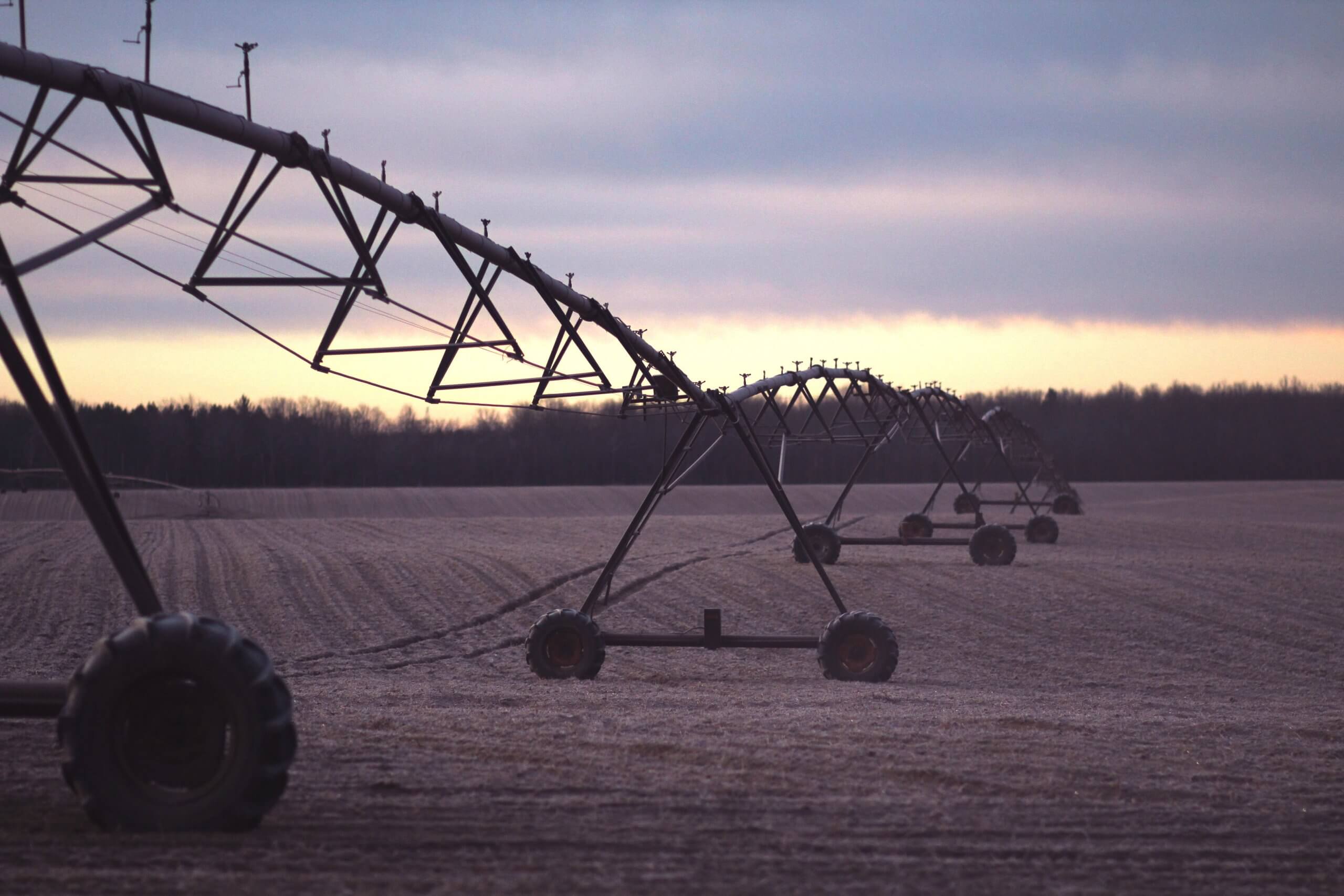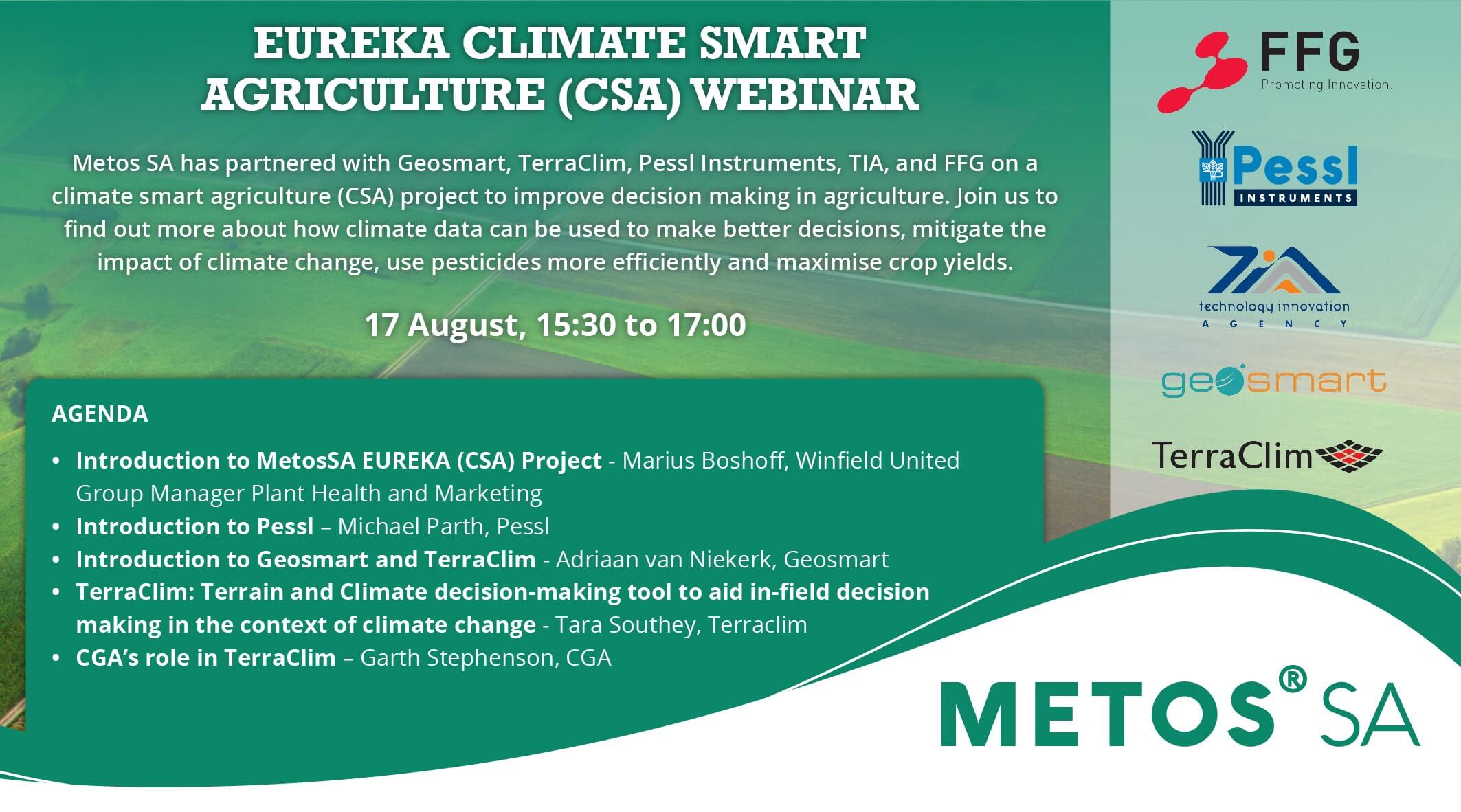
EUREKA Climate Smart Agriculture (CSA) Webinar
Watch the webinar hosted by METOS SA to learn more about climate smart agriculture (CSA) and how you can get involved. In addition to the TerraClim project, also being discussed discuss is: Mitigate the impact of climate change Use pesticides more efficiently Maximize crop yields TerraClim | GeoSmart Space | FFG Austrian Research [...]