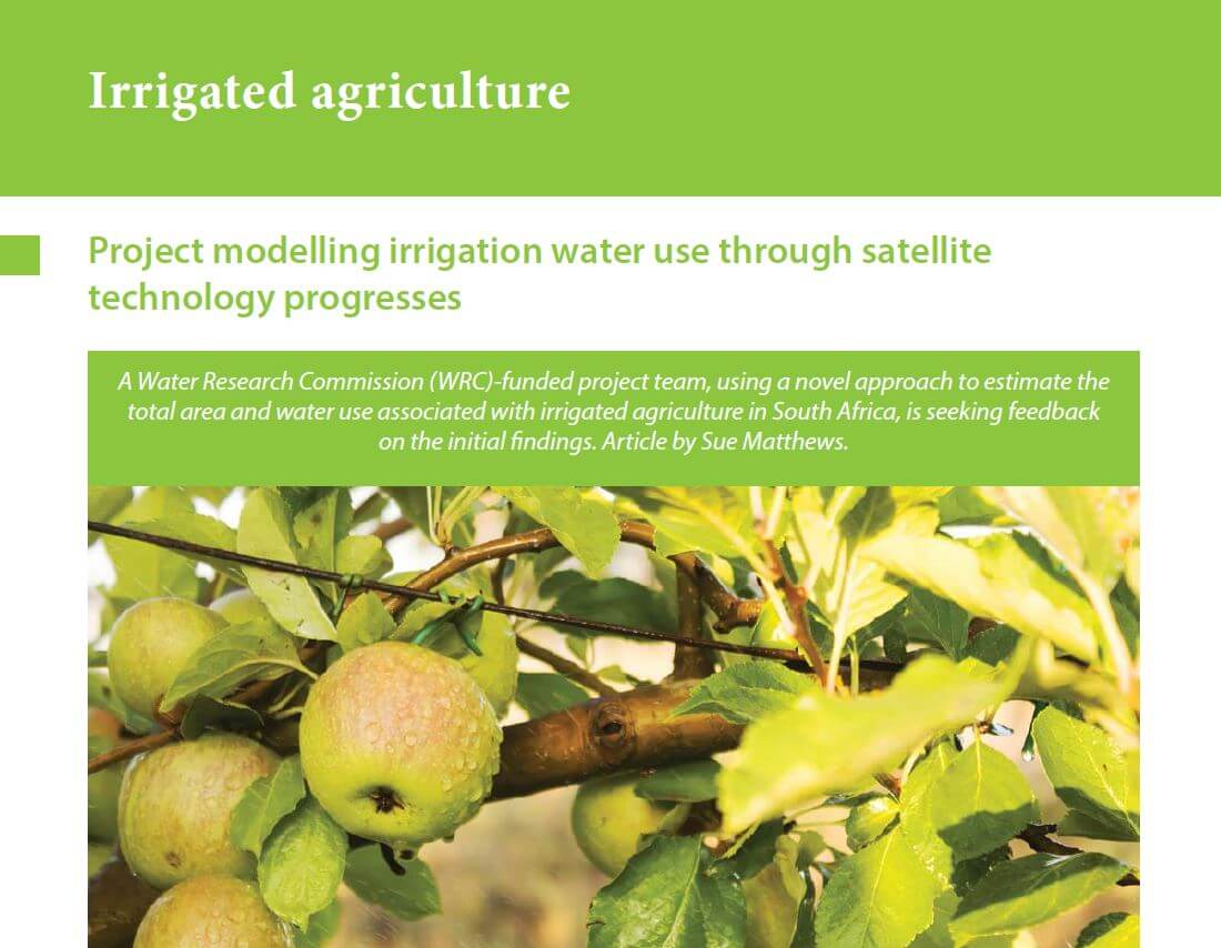
The mapping of irrigated agriculture from earth observation imagery, an outcome of the WRC-funded research project Wide-scale modelling of water use and water availability with earth observation/satellite imagery, was recently published in the WRC Water Wheel Magazine. The article, written by Sue Matthews and titled Project modelling irrigation water use through satellite technology progresses, details the use of satellite imagery to estimate the total area and water use associated with irrigated agriculture in South Africa.
* The full article can be viewed by clicking on the image
The project, led by CGA Director Prof. Adriaan van Niekerk of Stellenbosch University, is being undertaken by a collaborative team including the CGA, eLEAF of the Netherlands and GeoTerraImage (GTI).
For more information, please see the following links: