Why GIS Matters to Everyone

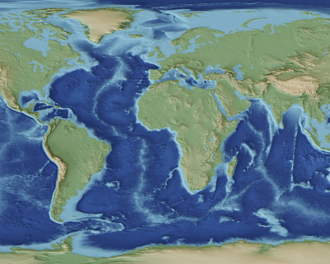
Geographical Information Systems (GIS) is more than just mapping technology—it’s a tool that connects data to spatial location, enabling us to make better-informed decisions and understand our world more clearly. Whether you’re an individual, a business owner, or a policymaker, GIS plays a vital role in your field. Understanding Complex Relationships GIS helps us [...]

Why GIS Matters to Everyone2024-11-27T10:03:50+02:00

What is Geospatial Analysis?

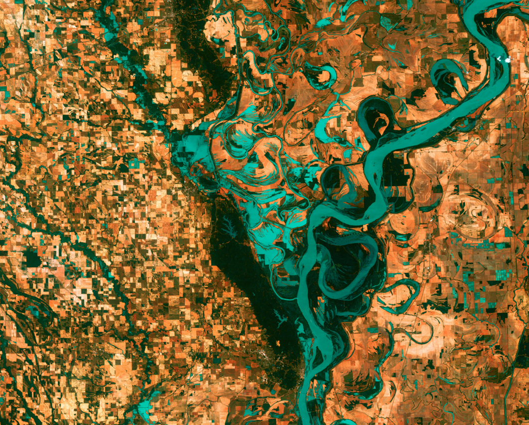
Geospatial analysis is the process of gathering, interpreting, and visualising geographic data to understand spatial relationships and patterns. This field combines geography with data science, allowing researchers, policymakers, and businesses to uncover insights that support better decision-making. At its core, geospatial analysis is about answering the “where” questions—where something is happening, where it’s likely [...]

What is Geospatial Analysis?2024-11-05T11:07:05+02:00

James is working from Kenya

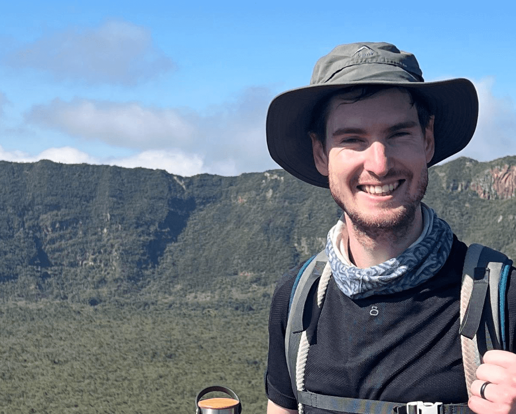
"Come visit Kenya!" James exclaims, "It's a beautiful country with very friendly people, and I feel like there's something for everyone to do here." James moved to Kenya earlier this year as a "trailing spouse". His wife, Becca, is now teaching at the Woodland Star School. For the next two years, they will be [...]

James is working from Kenya2024-10-03T15:10:31+02:00

Welcoming our new intern, Camilla

The CGA team would like to officially welcome Camilla de Kock as our newest intern. She's in town for two months, but can usually be found working as a GIS intern at the Buffalo City Metropolitan Municipality. Choosing to spend time at the CGA became her goal when she realised that she will gain [...]

Welcoming our new intern, Camilla2024-08-28T10:16:11+02:00

Juan gets his Masters in Sciences

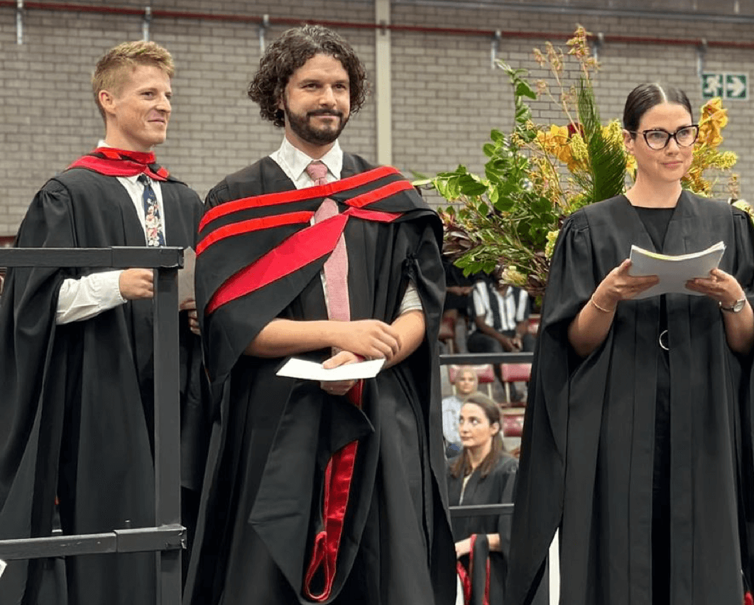
The CGA team would like to congratulate our GIS analyst, Juan du Plessis, on obtaining his Masters in Sciences earlier this year. Under the watchful eye of Dr Zama Eric Mashimbye, he tackled his thesis: Machine Learning for Regional Modelling of Soil Depth in the Western Cape of South Africa. With this he set [...]

Juan gets his Masters in Sciences2024-06-26T08:59:40+02:00

Caley publishes on plantation forest mapping

The CGA team would like to congratulate our GIS analyst, Caley Higgs, for publishing an academic article. The article, entitled Signature Extension as a Machine Learning Strategy for Mapping Plantation Forest Genera with Sentinel-2 Imagery, was published in the Remote Sensing Applications: Society and Environment journal in Jaunary of 2024. Having completed her Masters [...]

Caley publishes on plantation forest mapping2024-05-30T11:59:09+02:00

Did you know about our short courses?

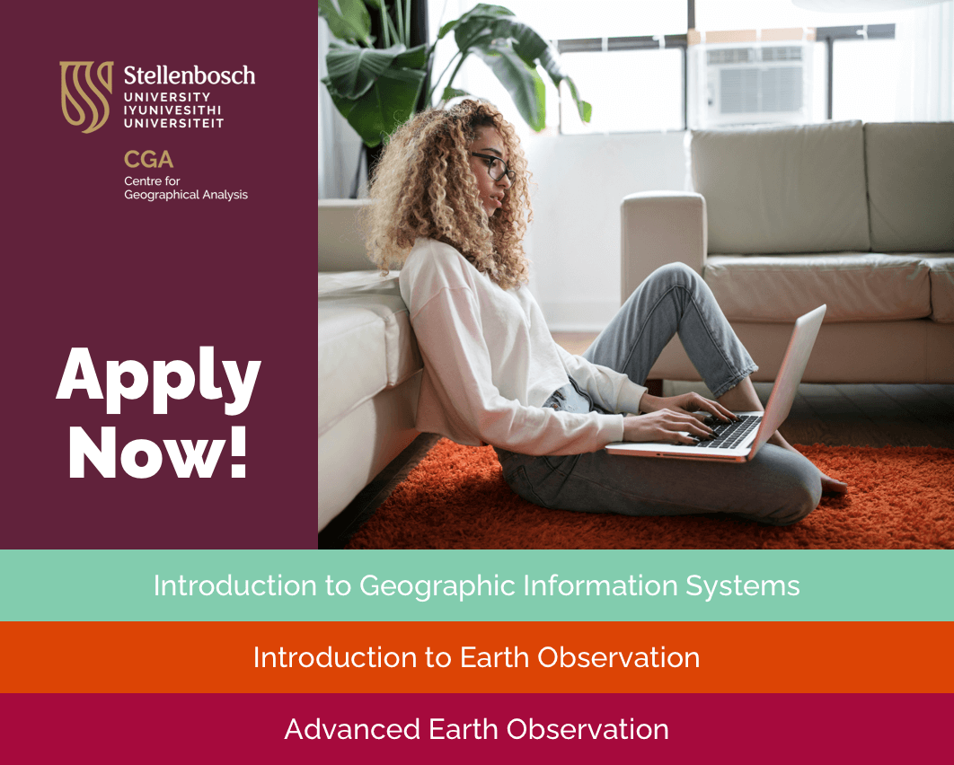
The CGA, together with Stellenbosch University, offers short courses in Geographic Information Systems (GIS) and Earth Observation (EO). The courses, which are part-time, online and accredited by Stellenbosch University, provide applicants with the skills to make their own maps, to acquire, capture, edit and manipulate spatial data and to run a variety of GIS [...]

Did you know about our short courses?2024-05-08T11:41:12+02:00

Data CoOp stakeholder meeting and presentation

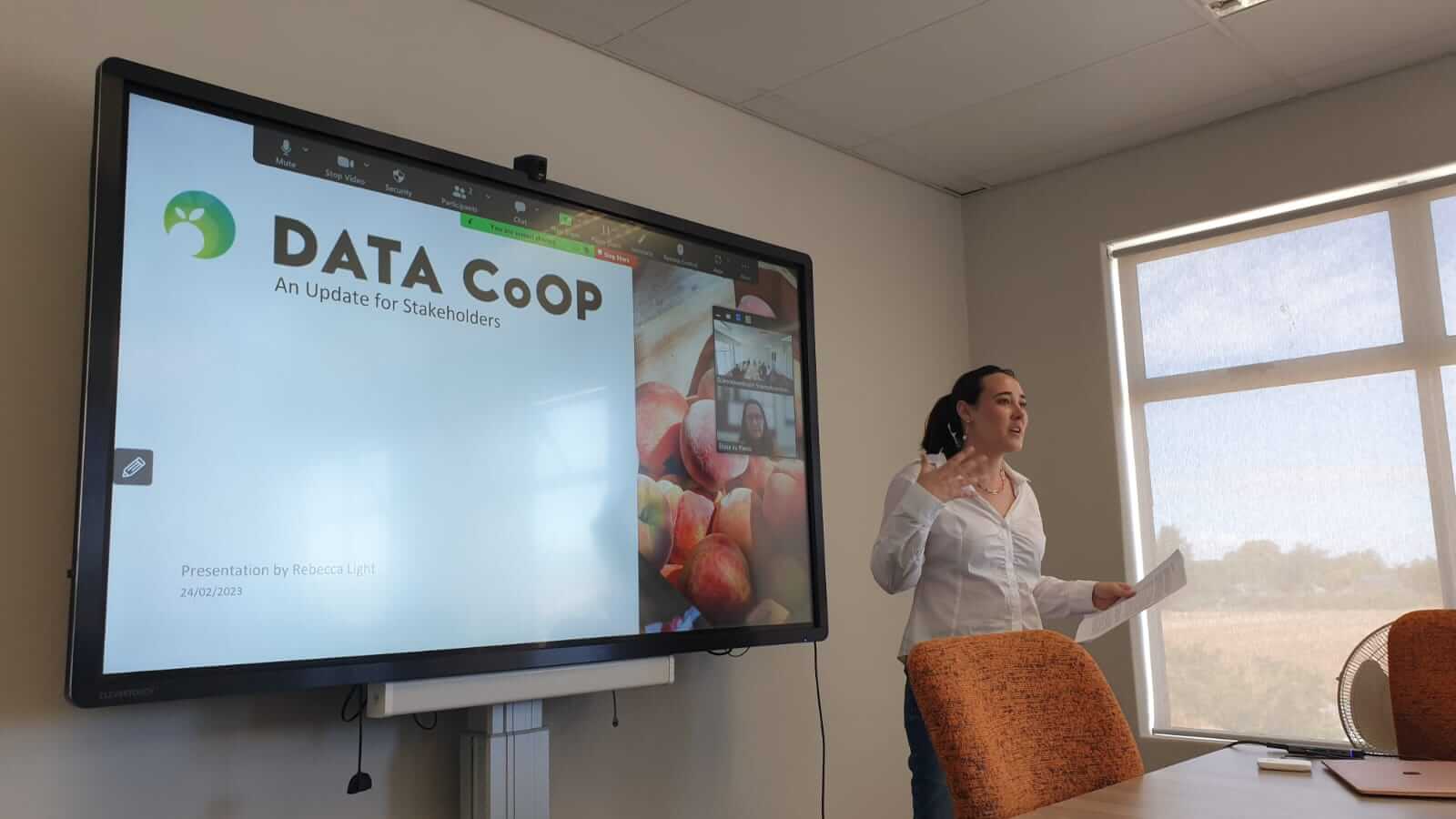
On Friday the 24th of February, the Data CoOp team met with stakeholders to present a Data CoOp project status update and discuss the project’s future. The CGA is currently involved in developing the Data CoOp project involving a centralised geodatabase system for the pome and stone fruit industry. Project co-ordinator, Rebecca Light, present [...]

Data CoOp stakeholder meeting and presentation2023-03-14T17:06:28+02:00

Introduction to Earth Observation – A Unique Opportunity

The CGA team is always at the ready to share our knowledge. And it was specifically fulfilling to teach our Introduction to Earth Observation short course in October and November 2022 as part of the NEOFrontiers project titled Development of New Hyperspectral Capabilities across Aquatic, Atmospheric and Terrestrial Domains (HyperCAAT) in partnership with the CSIR, [...]

Introduction to Earth Observation – A Unique Opportunity2023-02-15T13:25:43+02:00

Prof. Adriaan van Niekerk – inaugural professorial lecture

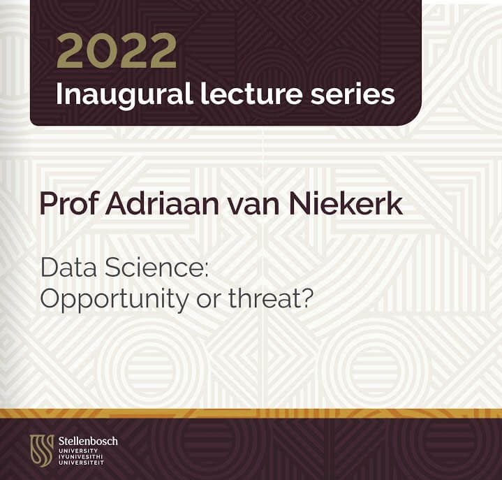
The CGA is proud to congratulate our very own director, Adriaan van Niekerk, for his inaugural lecture, titled "Data Science: Opportunity or threat", that took place at the University of Stellenbosch last week. Adriaan's focus is on the development and application of geographical information systems (GIS) and remote sensing (Earth observation) techniques to support decisions [...]

Prof. Adriaan van Niekerk – inaugural professorial lecture2022-11-02T18:21:17+02:00
Go to Top