PCI renews Strategic Education Alliance Agreement with Stellenbosch University

PCI Geomatics Enterprises Inc., the developers of the remote sensing software PCI Geomatics and PCI GXL, have extended their Strategic Education Alliance Agreement with Stellenbosch University (SU) for another year. Now entering its second year, this agreement recognises SU as the sole PCI Technology Centre of Excellence in Remote Sensing and Geomatics in South Africa. [...]

PCI renews Strategic Education Alliance Agreement with Stellenbosch University2017-10-31T13:04:42+02:00

2017 Course dates

Our short course dates for 2017 have been set. Click here for more information and make sure to book your spot. Limited spaces are available. 08 – 12 May 2017 – Introduction to GIS 14 – 18 August - Introduction to Earth Observation (Remote Sensing) 18 – 22 September – GEOBIA (eCognition) 16 – 20 October – Introduction to [...]

2017 Course dates2017-10-31T13:08:17+02:00

Development of a provincial flood-hazard index for the Western Cape Province

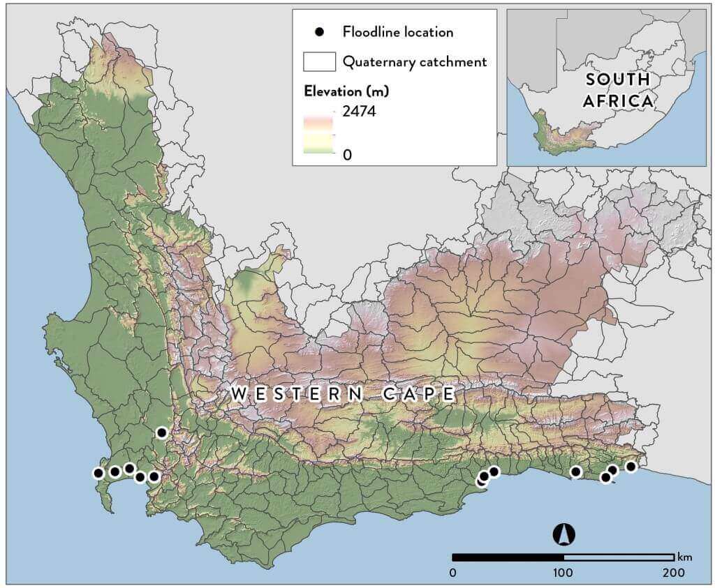
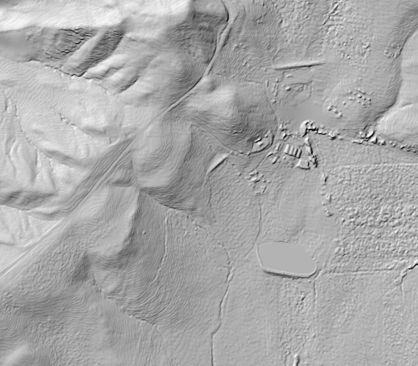
The CGA recently created a terrain-based Provincial Flood Hazard Index (FHI) of the Western Cape by using the Stellenbosch University digital elevation model (SUDEM). The overall purpose of the FHI is to improve: risk reductions measures flood preparedness spatial planning The development process for this project was as follows: the SUDEM was prepared for [...]

Development of a provincial flood-hazard index for the Western Cape Province2017-10-31T13:21:34+02:00

German exchange students

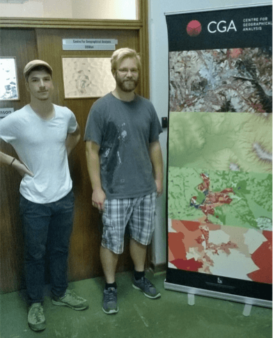
The CGA recently welcomed two earth observation students from the Friedrich Schiller University of Jena in Germany. Eric Krüger and Stefan Werner are both doing BSc degrees that require three months of vocational experience. Following in the footsteps of previous Jena students, they capitalized on the established relationship between the Earth Observation Departments of [...]

German exchange students2017-10-31T13:24:27+02:00

Welcome back Jascha

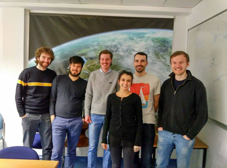
Jascha Muller returns to the CGA after a six month student exchange in Germany. On the 25th of February 2016 Jascha Muller, a remote sensing specialist at the CGA - Centre for Geographical Analysis, had the opportunity to give a presentation at the Department of Remote Sensing at University of Jena in Germany. He interactively discussed [...]

Welcome back Jascha2017-10-31T13:25:41+02:00

Calling all early career researchers

Equipping early career researchers with tools for evaluating ecosystem services which underpin food and water security Workshop Under the Researcher Links scheme offered within the Newton Fund, the British Council, in partnership with the South African National Research Foundation, we will be holding a three day workshop on the above theme on September 29th-October [...]

Calling all early career researchers2017-10-31T13:26:52+02:00

SUDEM 2015 first edition

The SUDEM is the highest accuracy digital elevation model available for South Africa, for more information see the product description.

SUDEM 2015 first edition2017-02-13T22:18:33+02:00
Go to Top